Be a rainbow explorer - 2023
Yorkshire Air Museum
Halifax Way,
Elvington, York
YO41 4AU
01904 608595
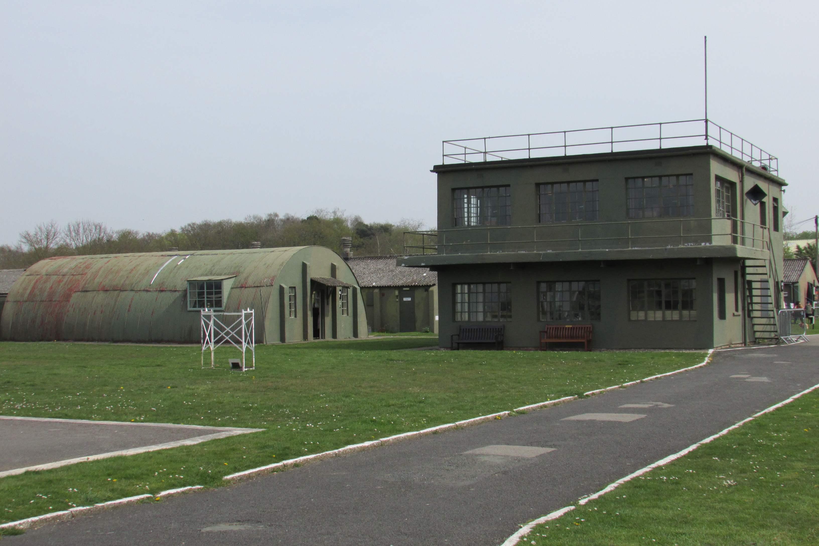
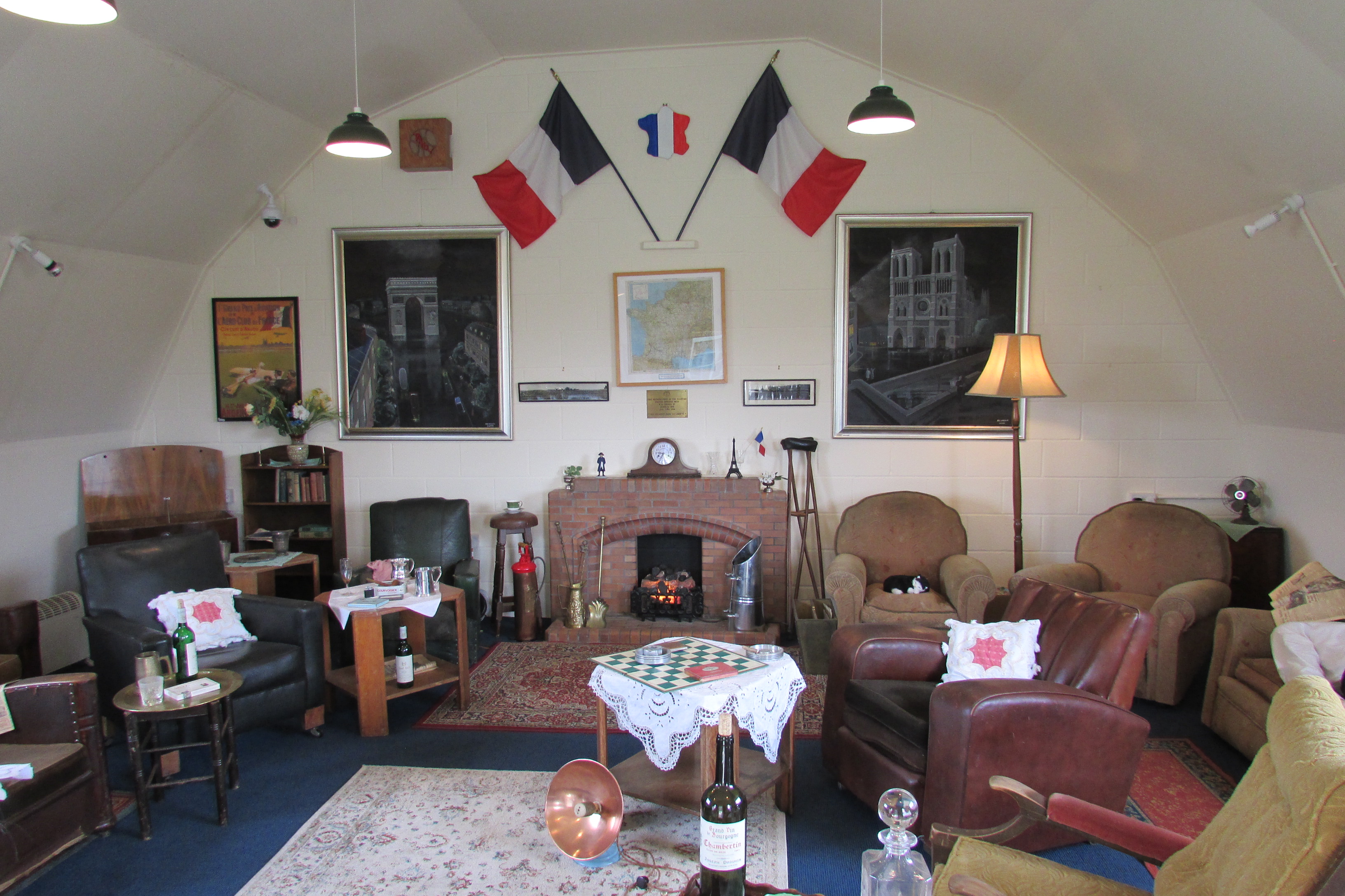

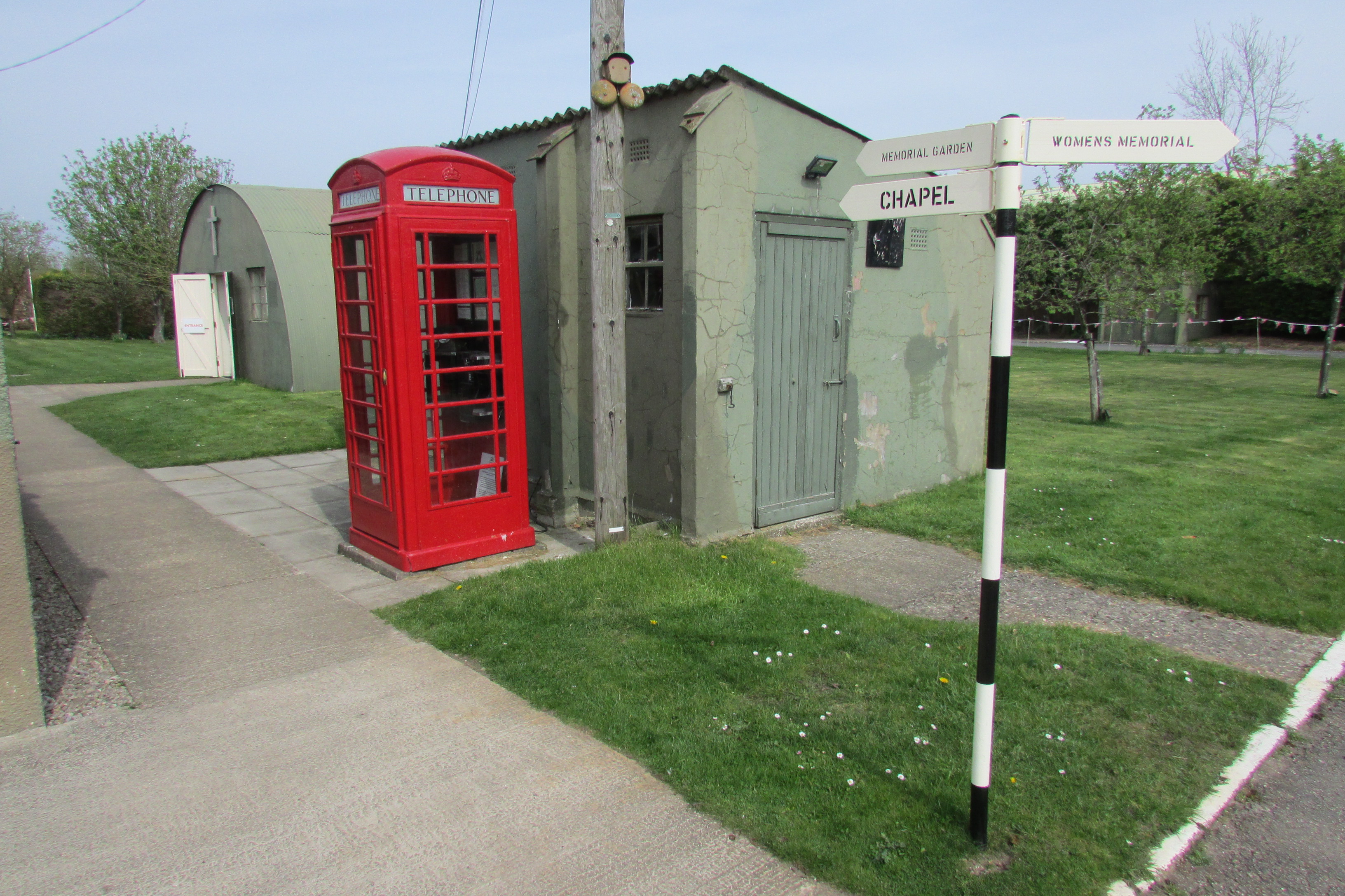
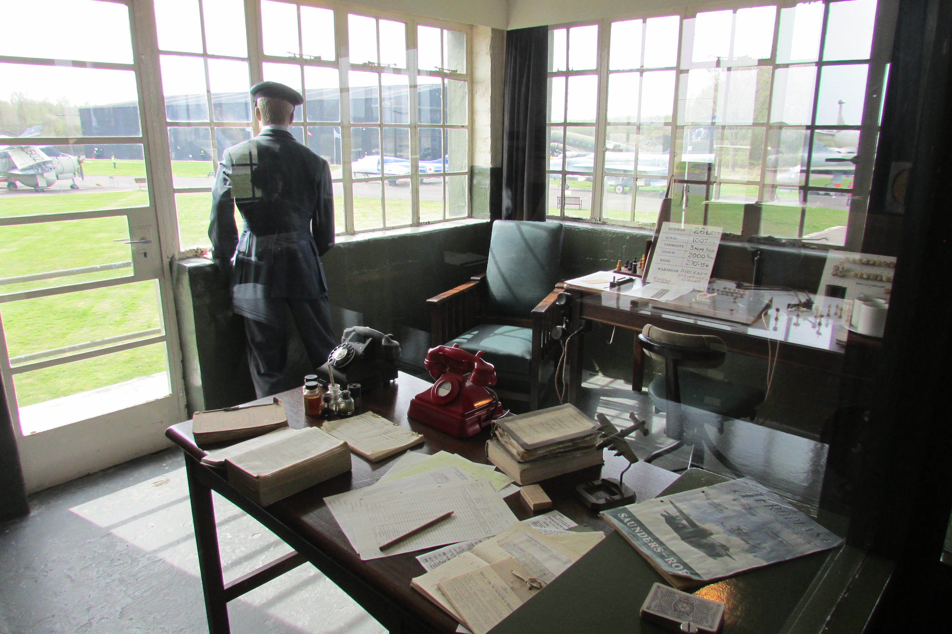
Elvington is one of the UKs largest independent aviation
museums and well worth a visit. It is situated on the former site of RAF
Elvington which was a World War Two bomber base and is typical of the many
sites that were dotted around Britain during the war. In York alone, there were
over 30 airfields!

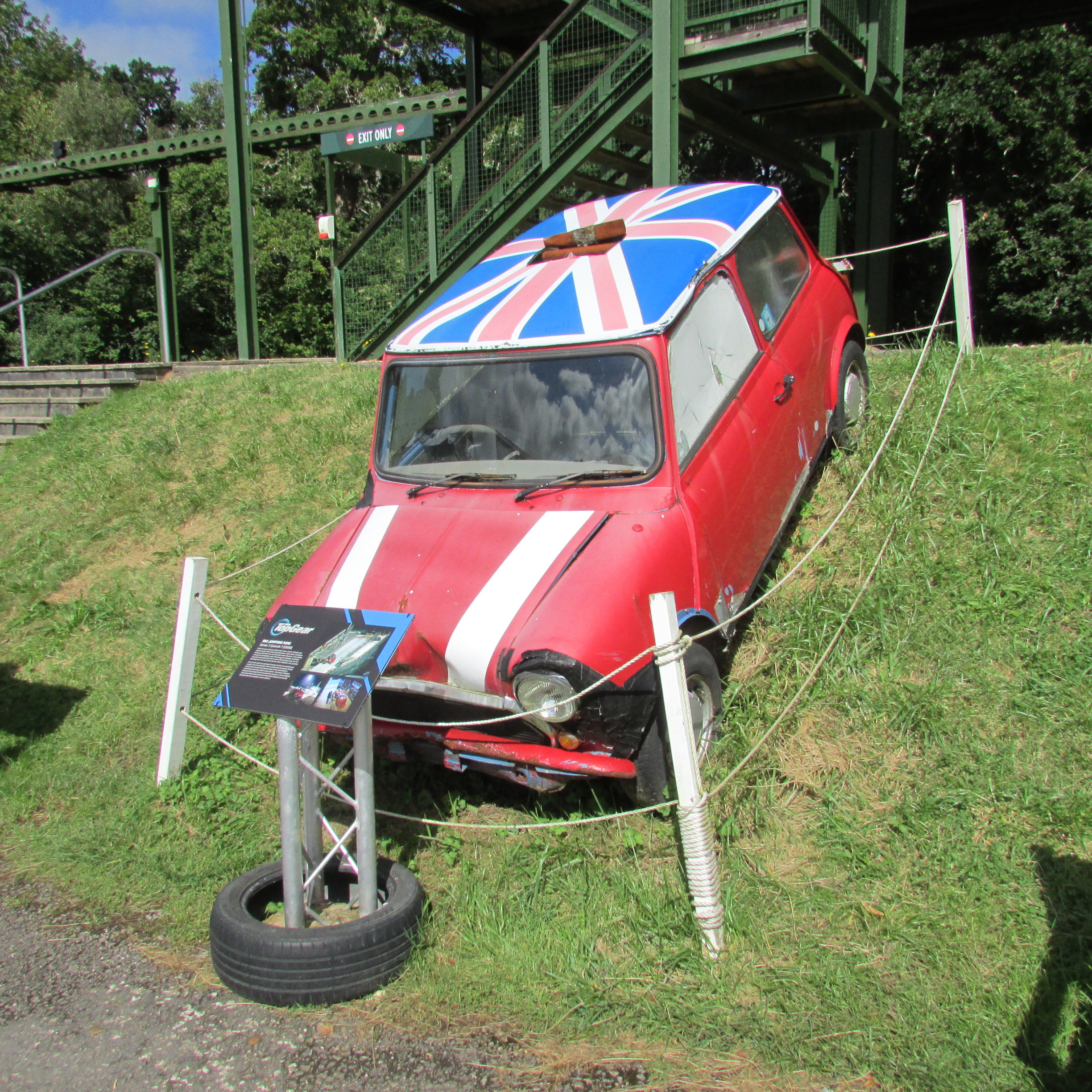
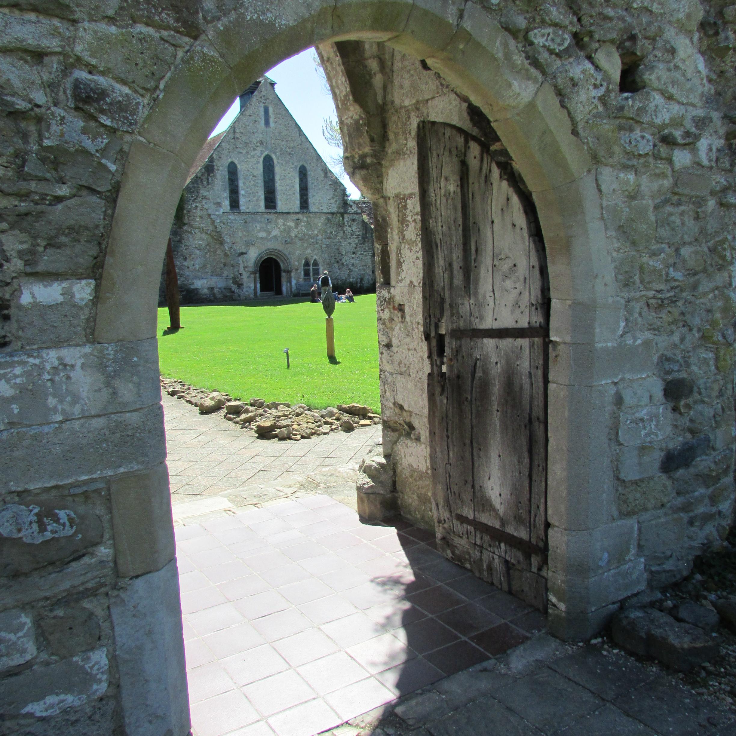
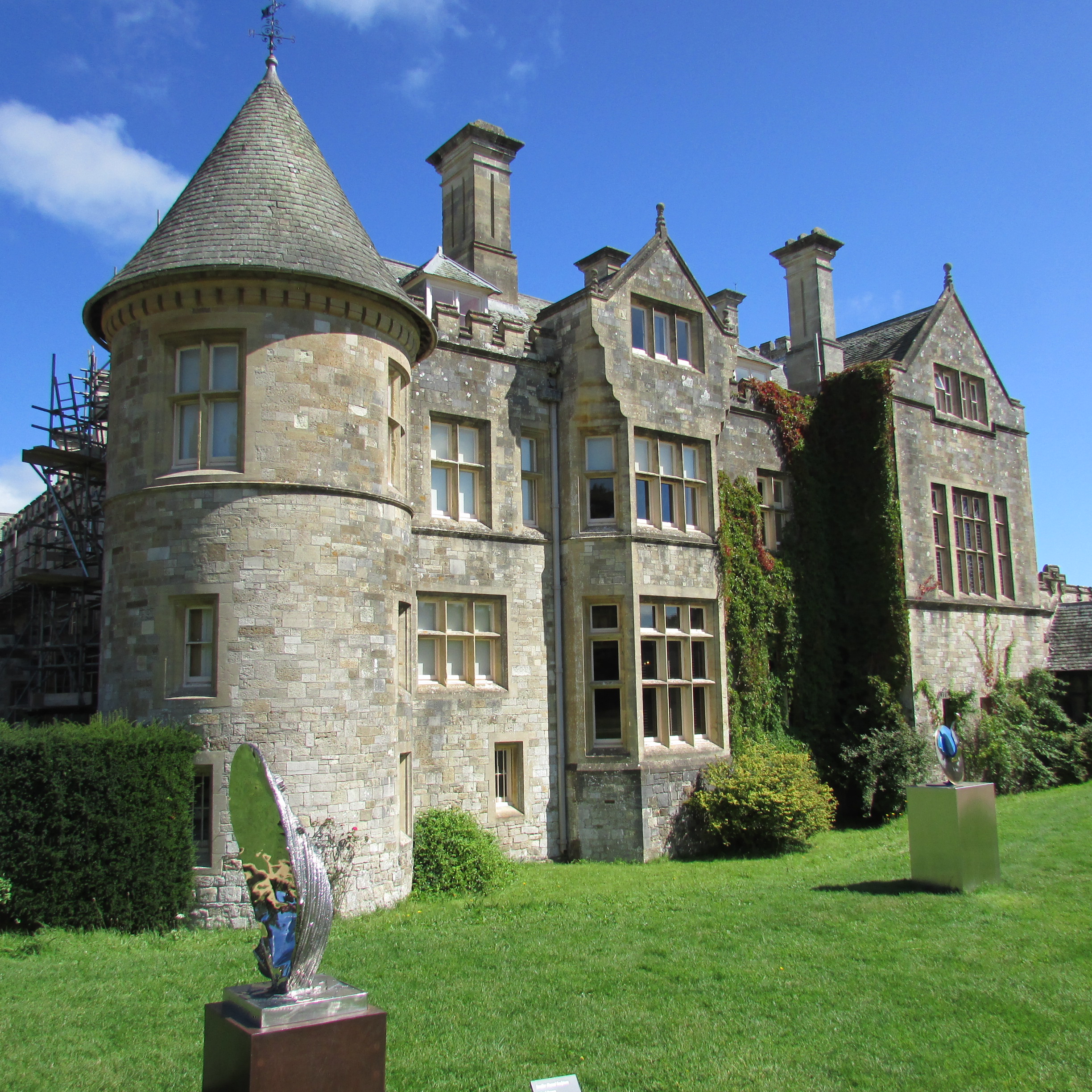
Beaulieu Motor Museum
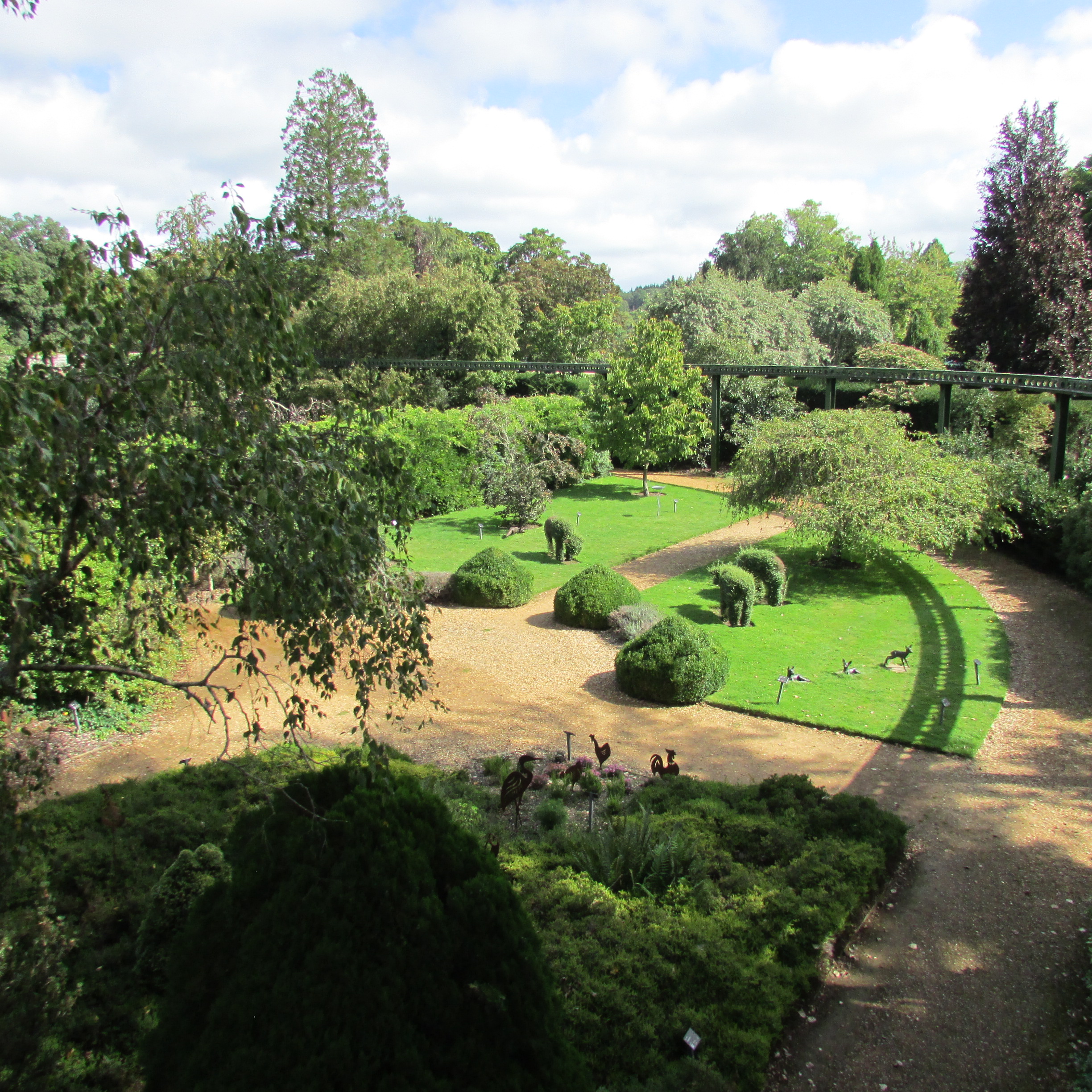
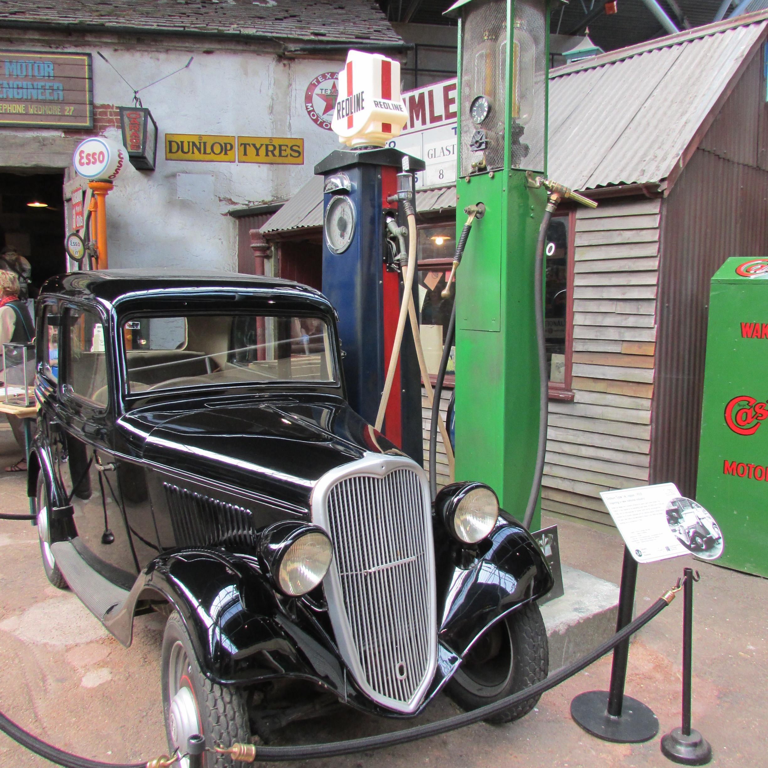
Brockenhurst
SO42 7ZN
Tel: 01590 612345
www.beaulieu.co.uk


The Overlord Embroidery at the D Day Story Museum
Clarence Esplanade
Portsmouth
PO5 3 NT


I hadn’t heard of the Overlord Embroidery but found
information about it when I was researching places to visit near to the New
Forest. As it happens, it was some
distance from where we were staying but once I had discovered it, I felt compelled
to visit and thankfully, I was not disappointed.


Nunnington Hall
Nunnington
Nr York
YO62 5UY
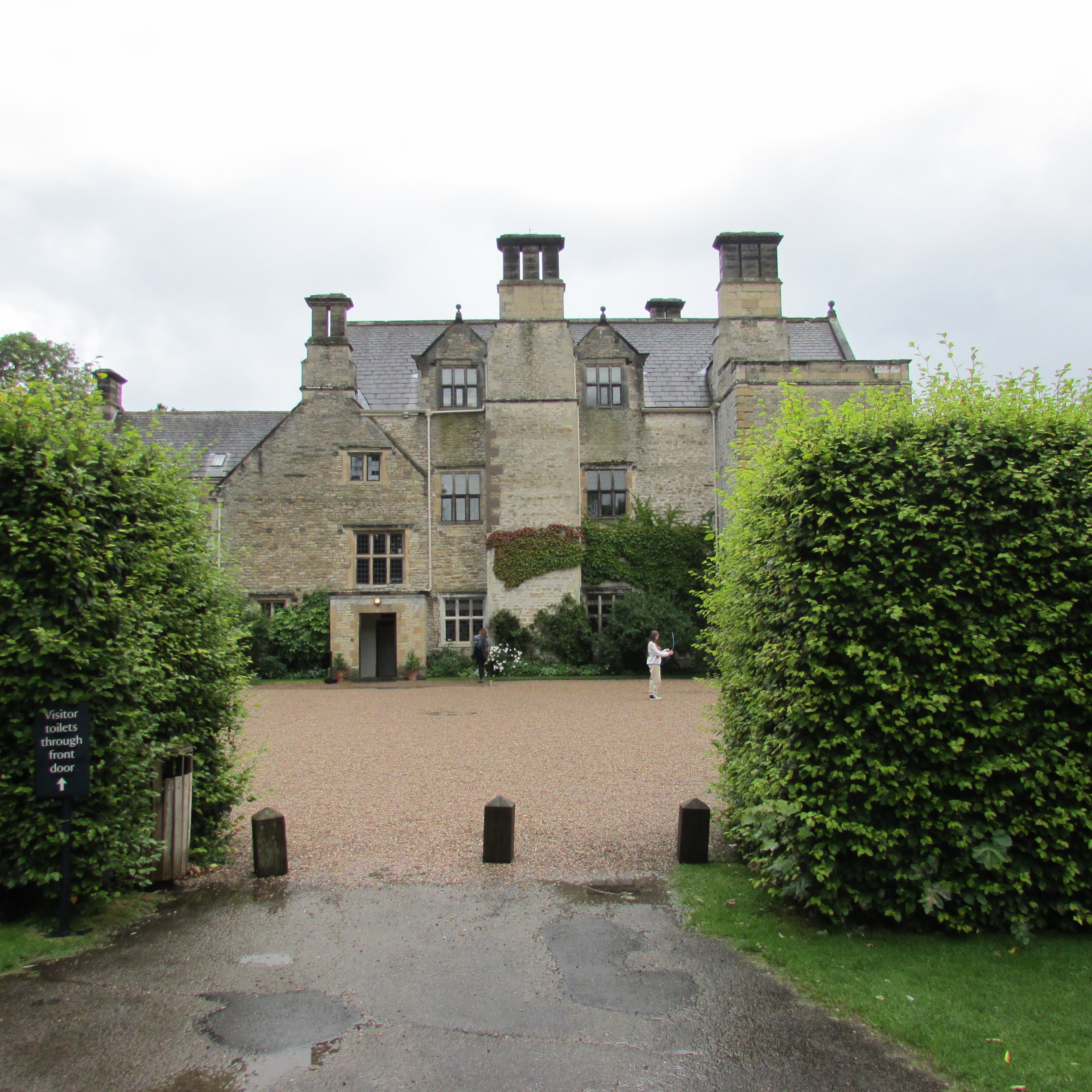
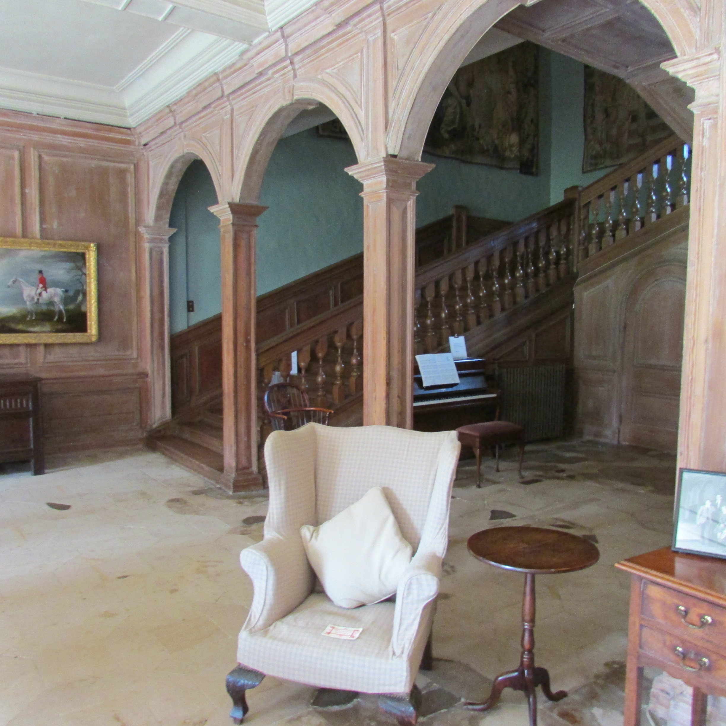
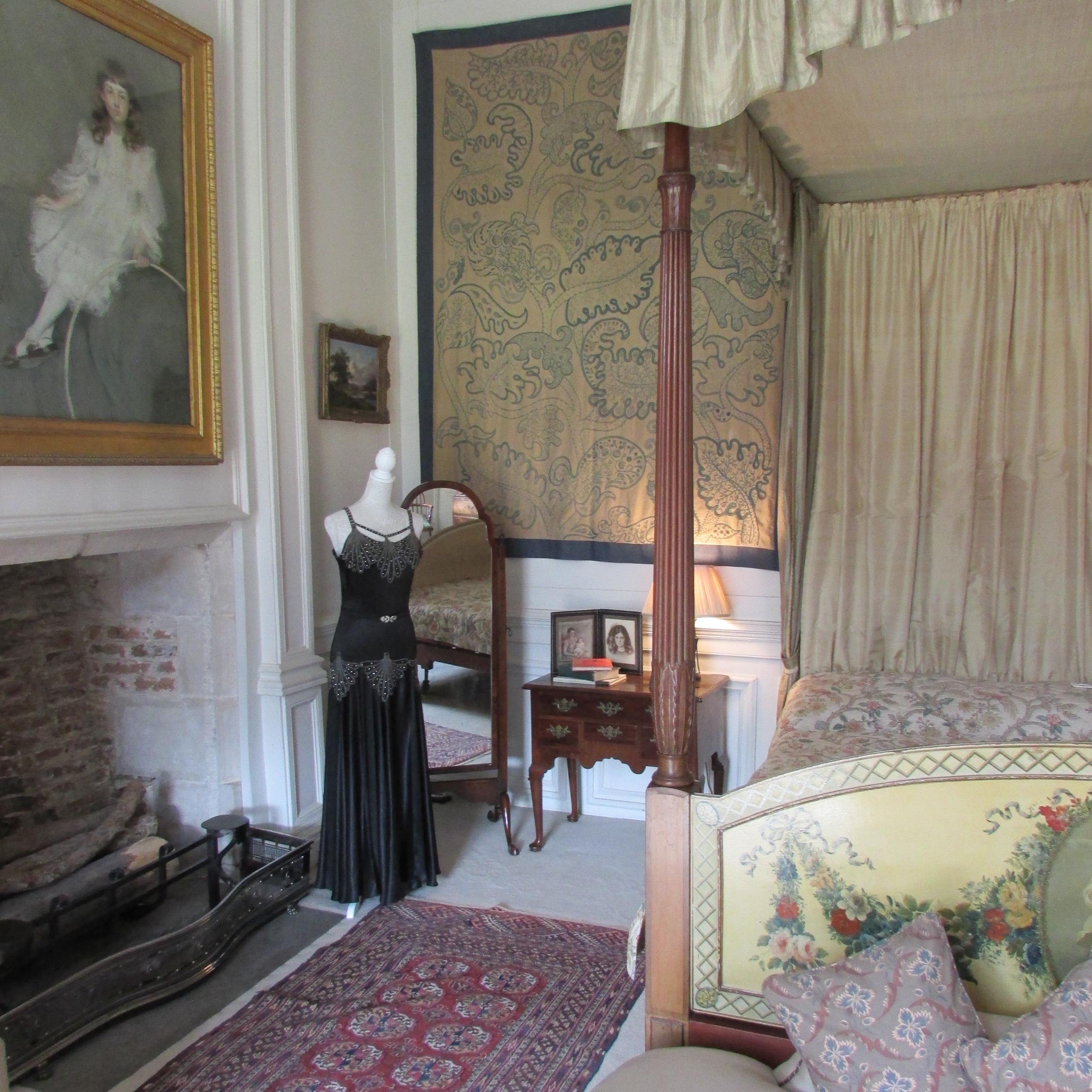
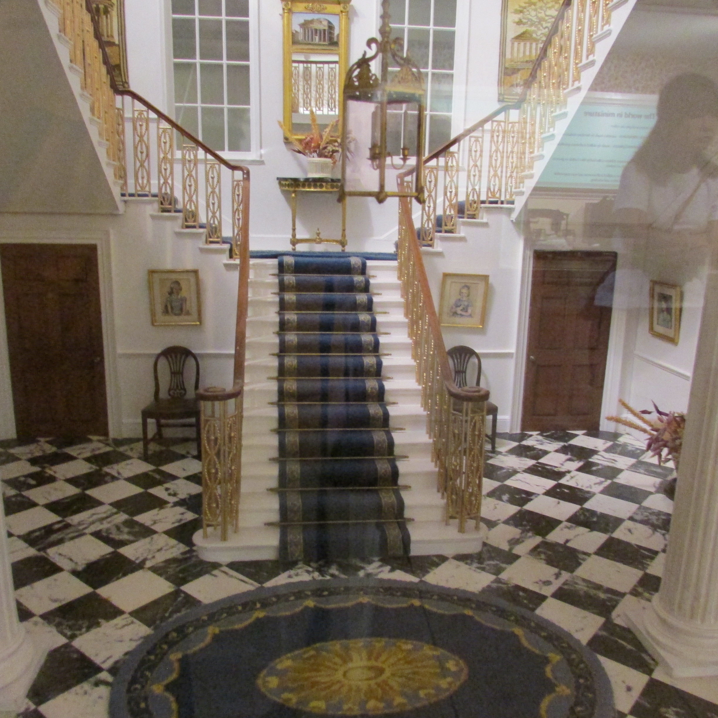
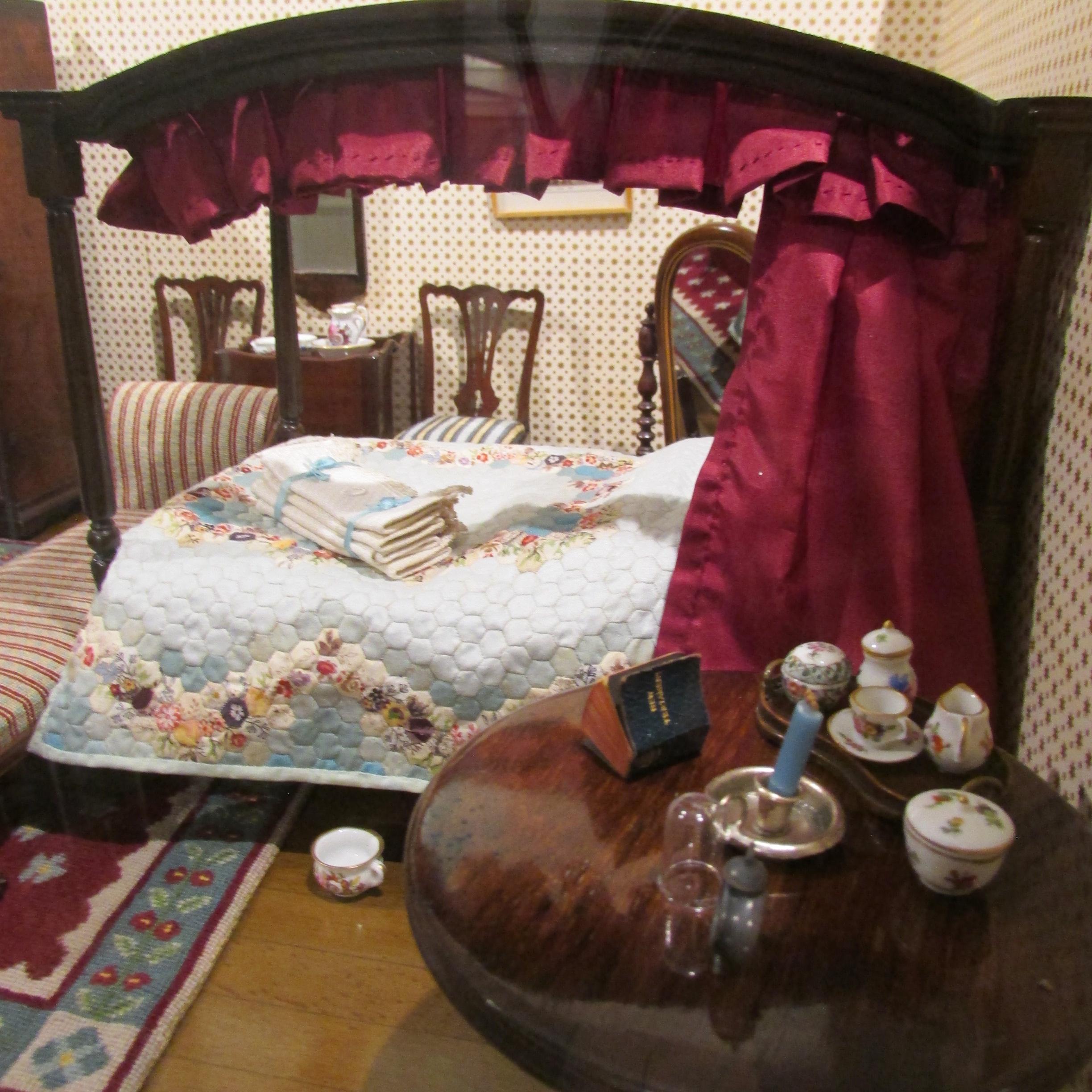
For 300 years, Nunnington Hall has been providing comfort,
safety and sanctuary to a wide variety of guests. Situated near Yorkshire, this
rural manor house with organic gardens and beautiful relaxing setting is well
worth a visit. Owned by the National Trust, visitors will find a wide variety
of things to look at to suit all ages.

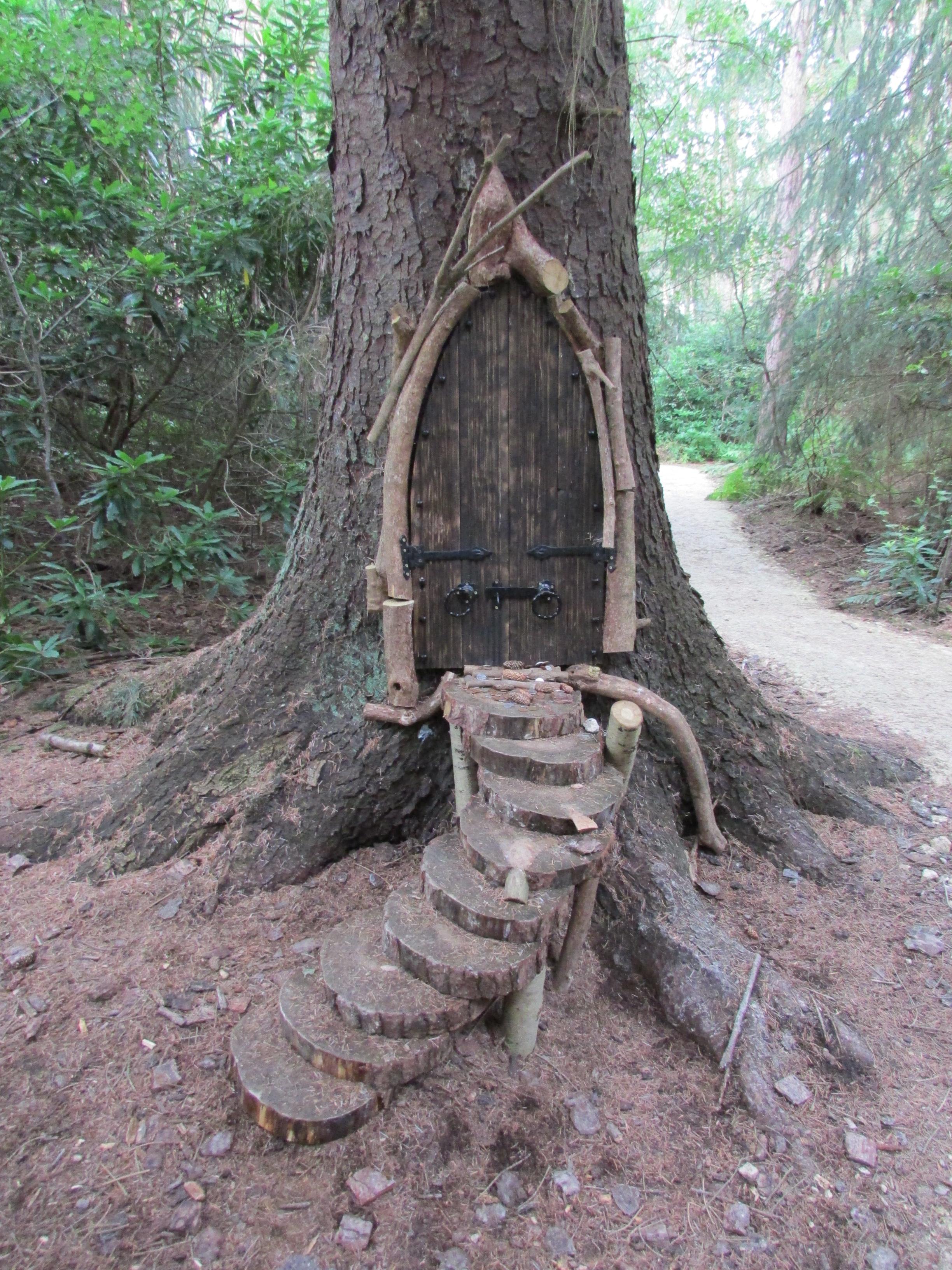
Northwood Fairy Trail
England’s Fairy Sanctuary
Buttercrambe Moor Road, York
YO41 1AP
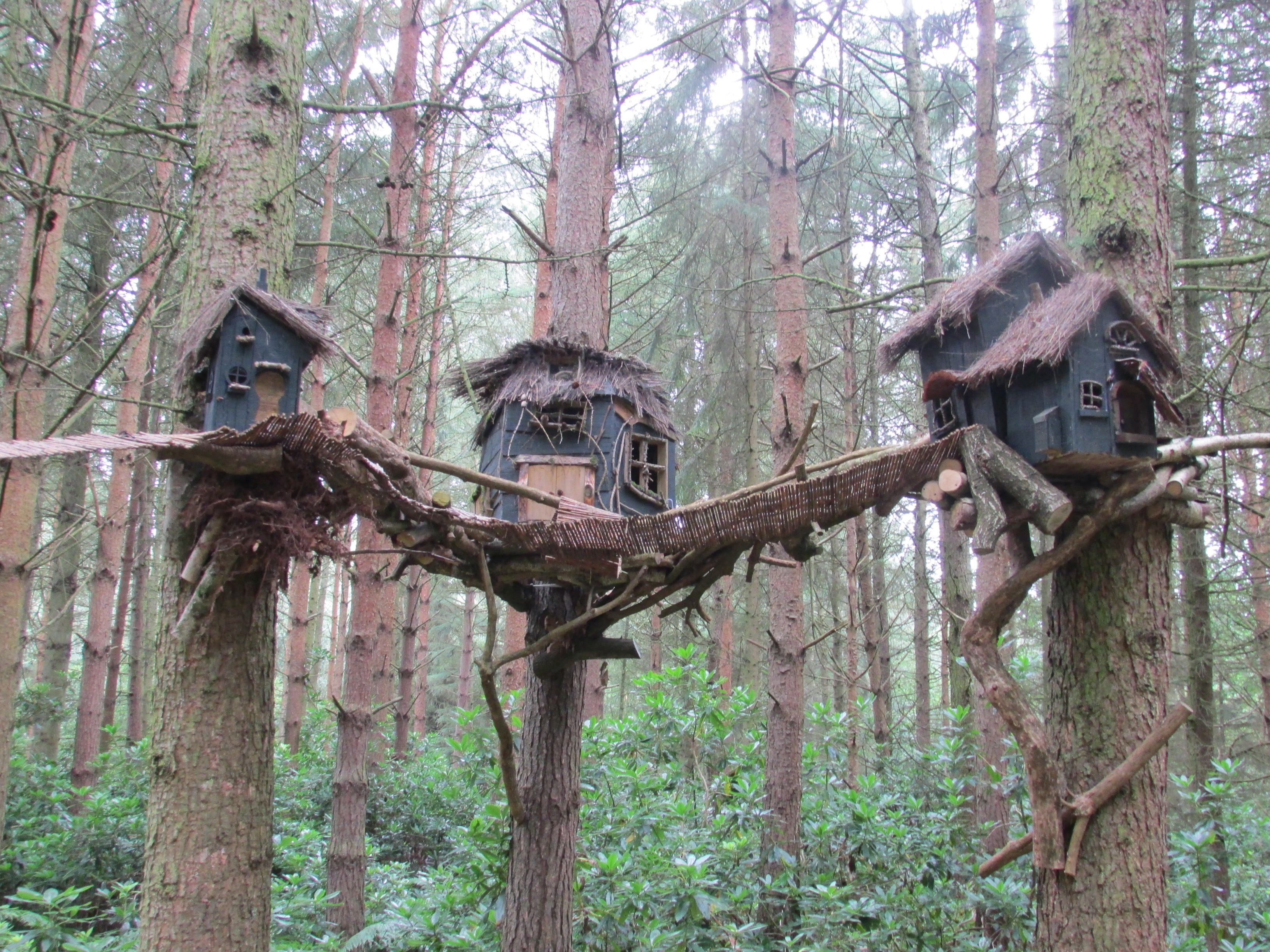
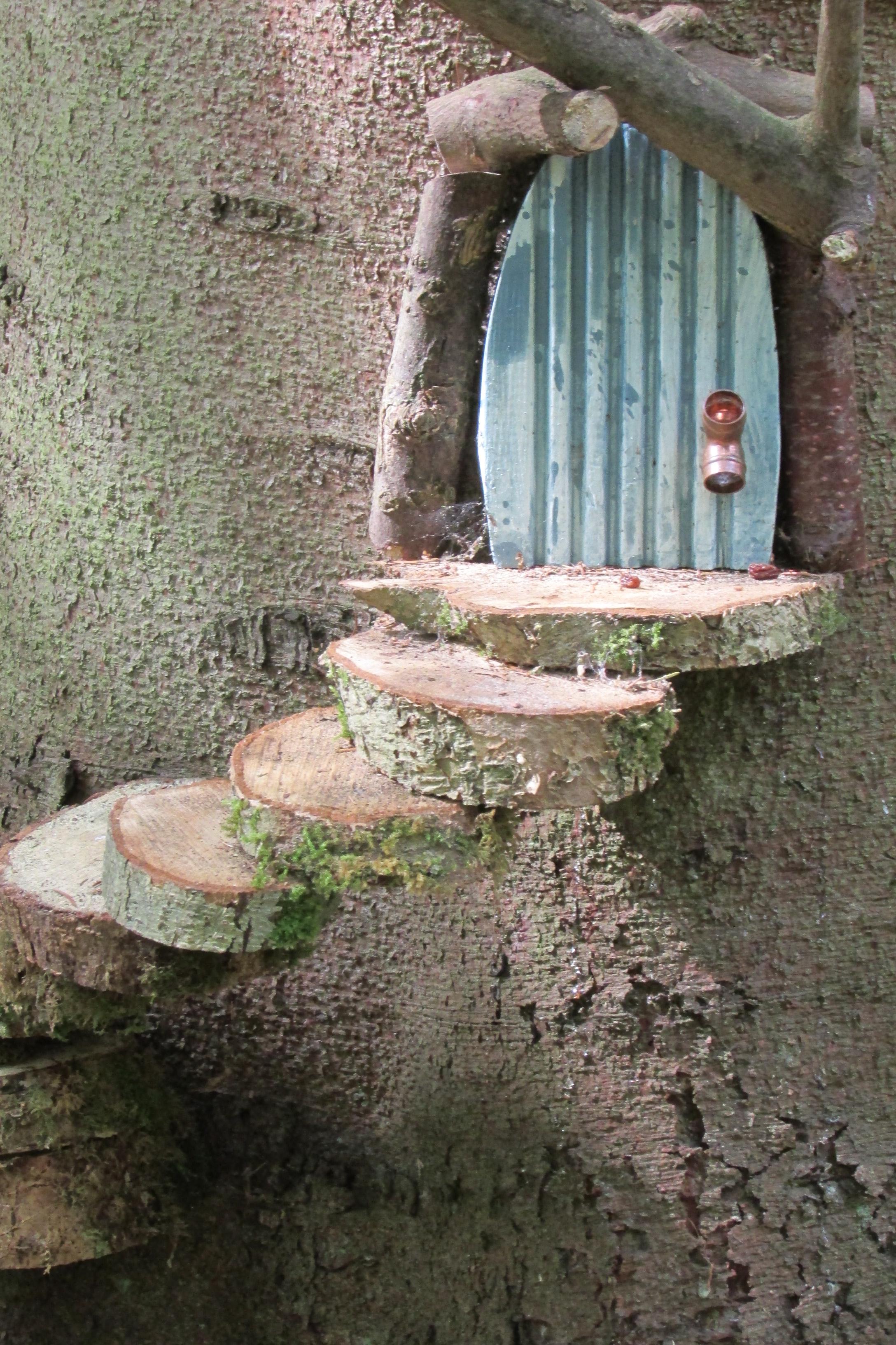
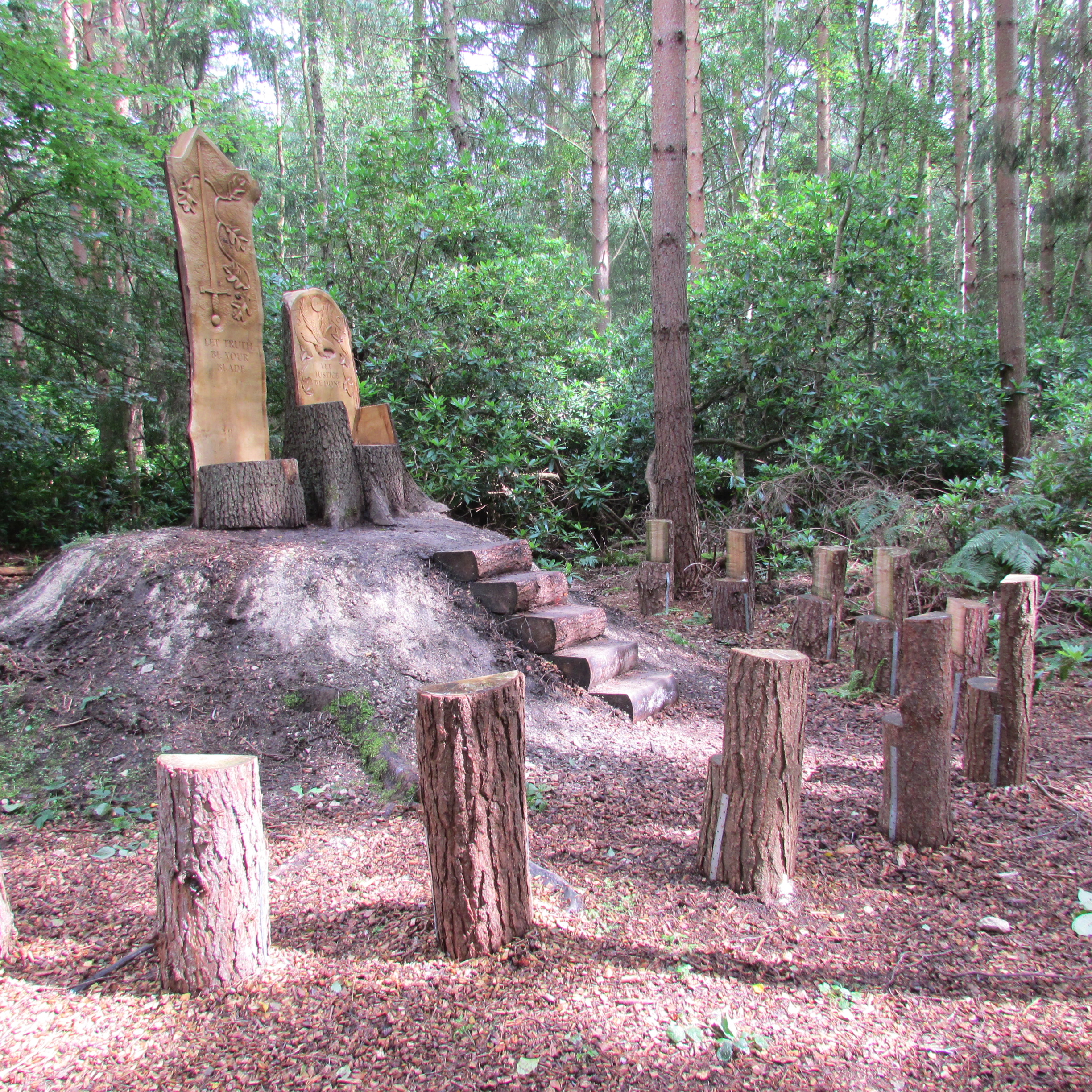
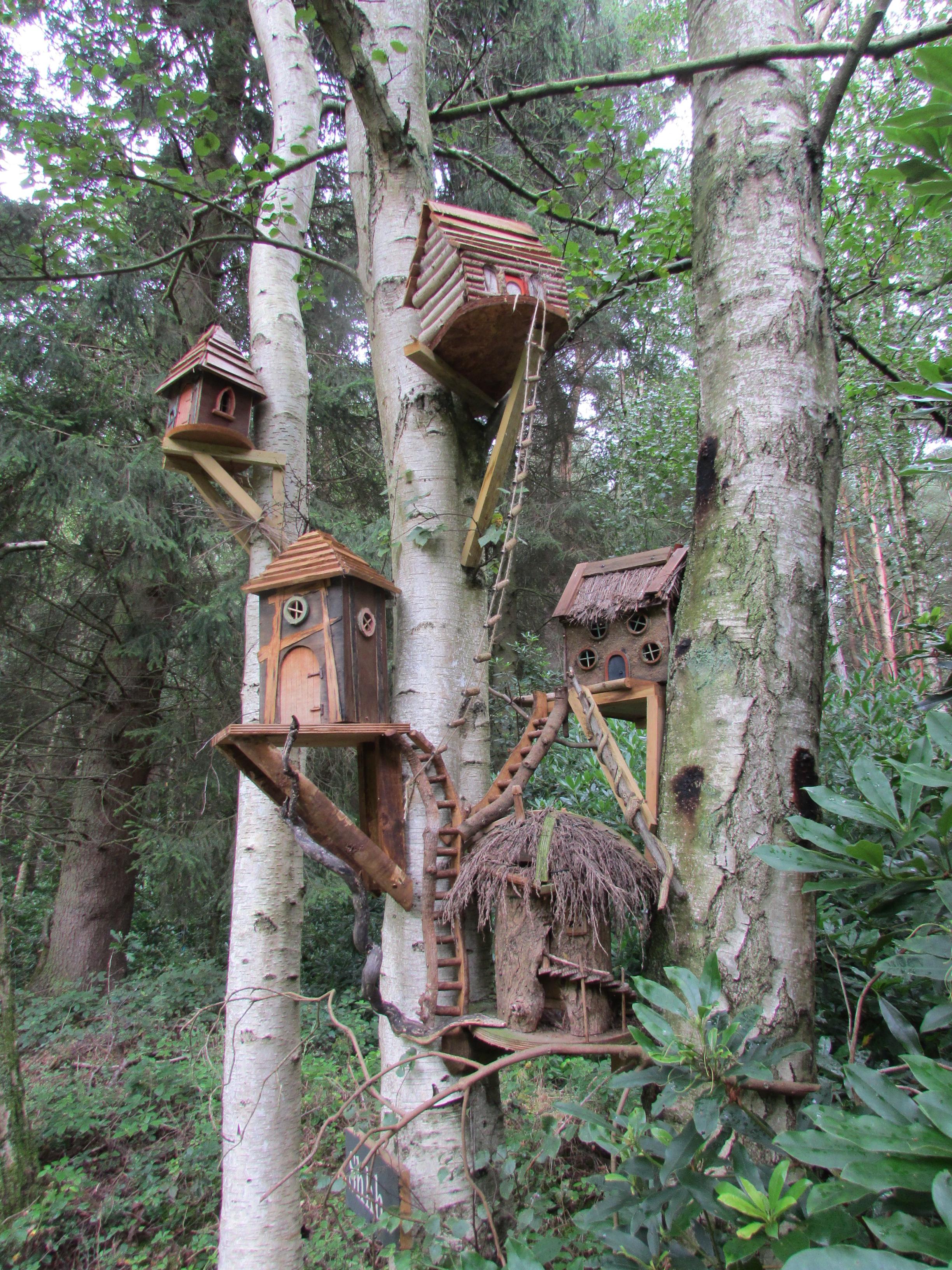
Did you know that there is a fairy sanctuary near to
York? I didn’t until I stumbled across
an article in a magazine and found that it was pretty close to where I live. I
just adore fairies and anything magical, so it was a given that we would end up
visiting here!
Finding the sanctuary was a bit of a problem – the fairies
obviously like to keep things very secret!
Rather than following the Satnav which can cause a number of problems,
visitors are advised to use the What3words method in locating their very secret
hideaway: unlocking obtain exhales, as this is more likely to get you to the
correct place at the correct time. (they are pretty strict on time keeping, be warned.)


.
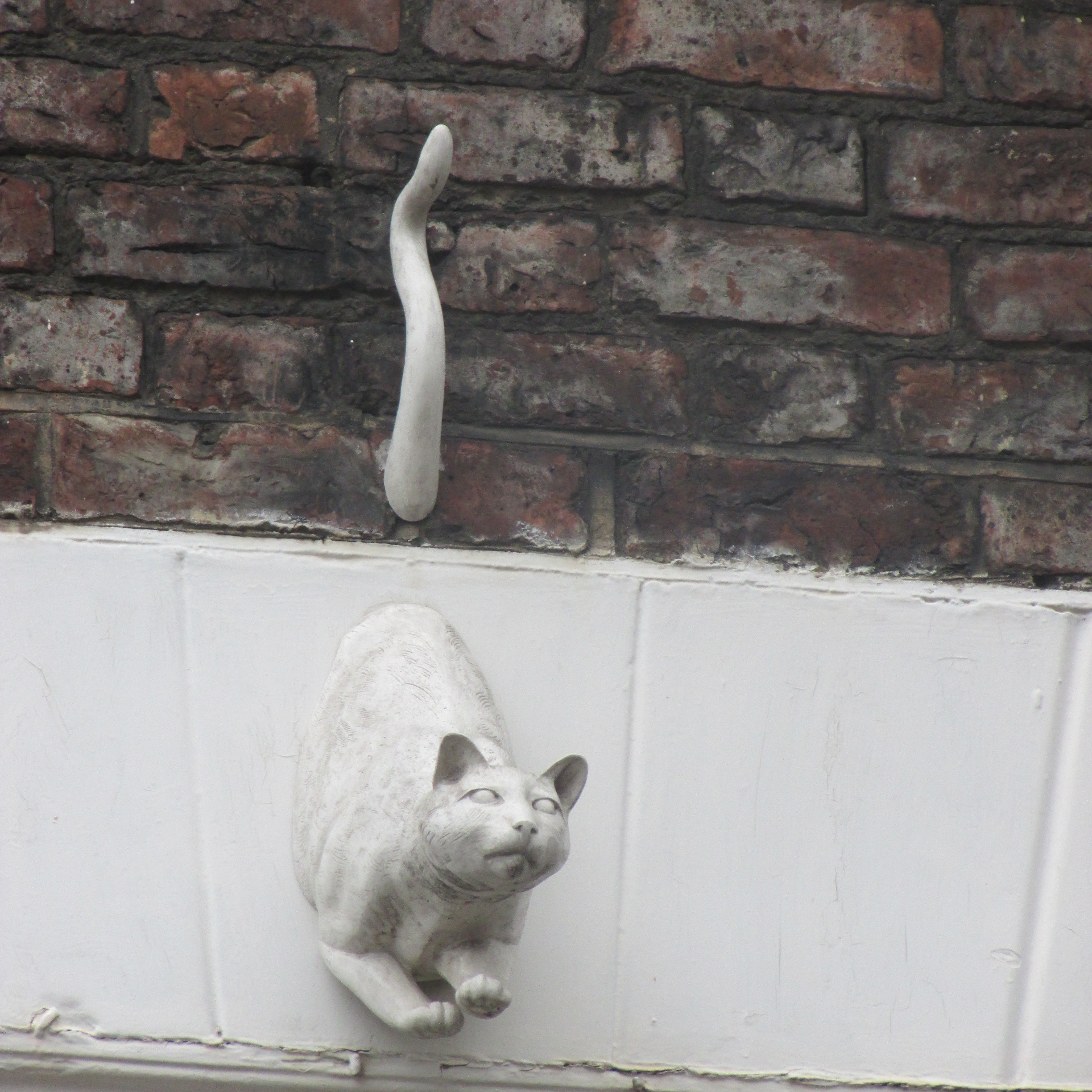
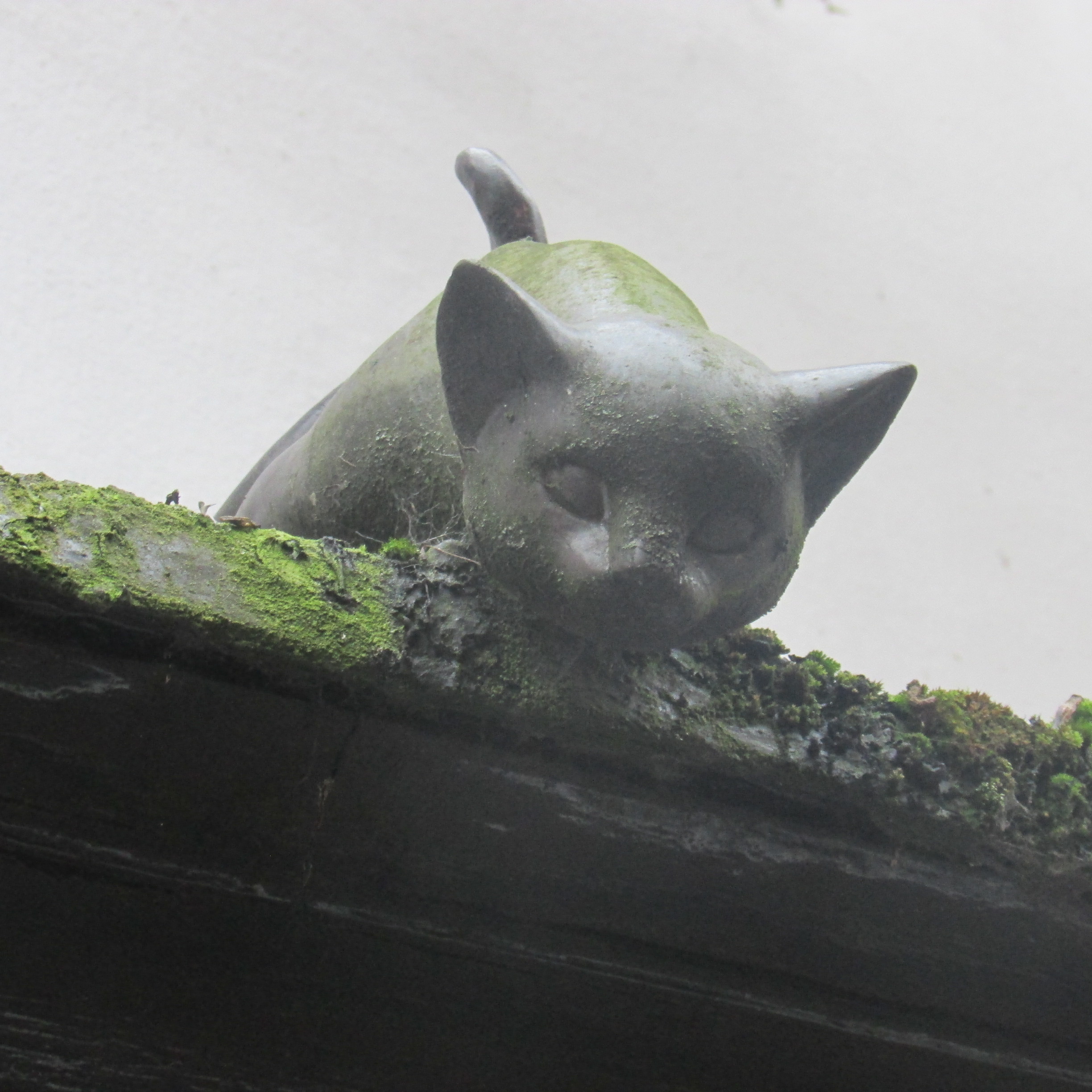
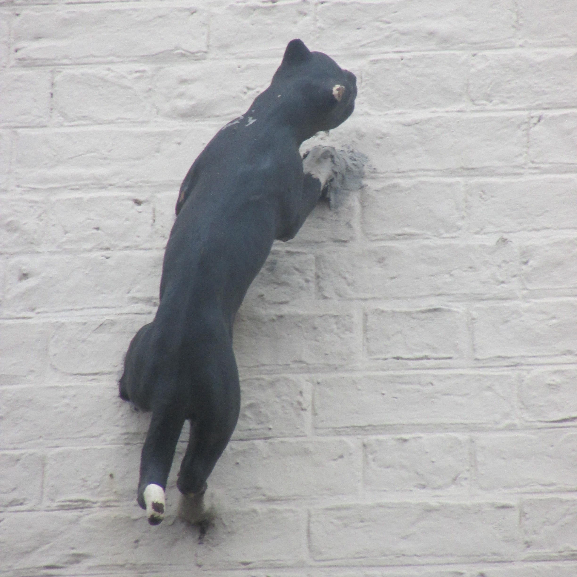
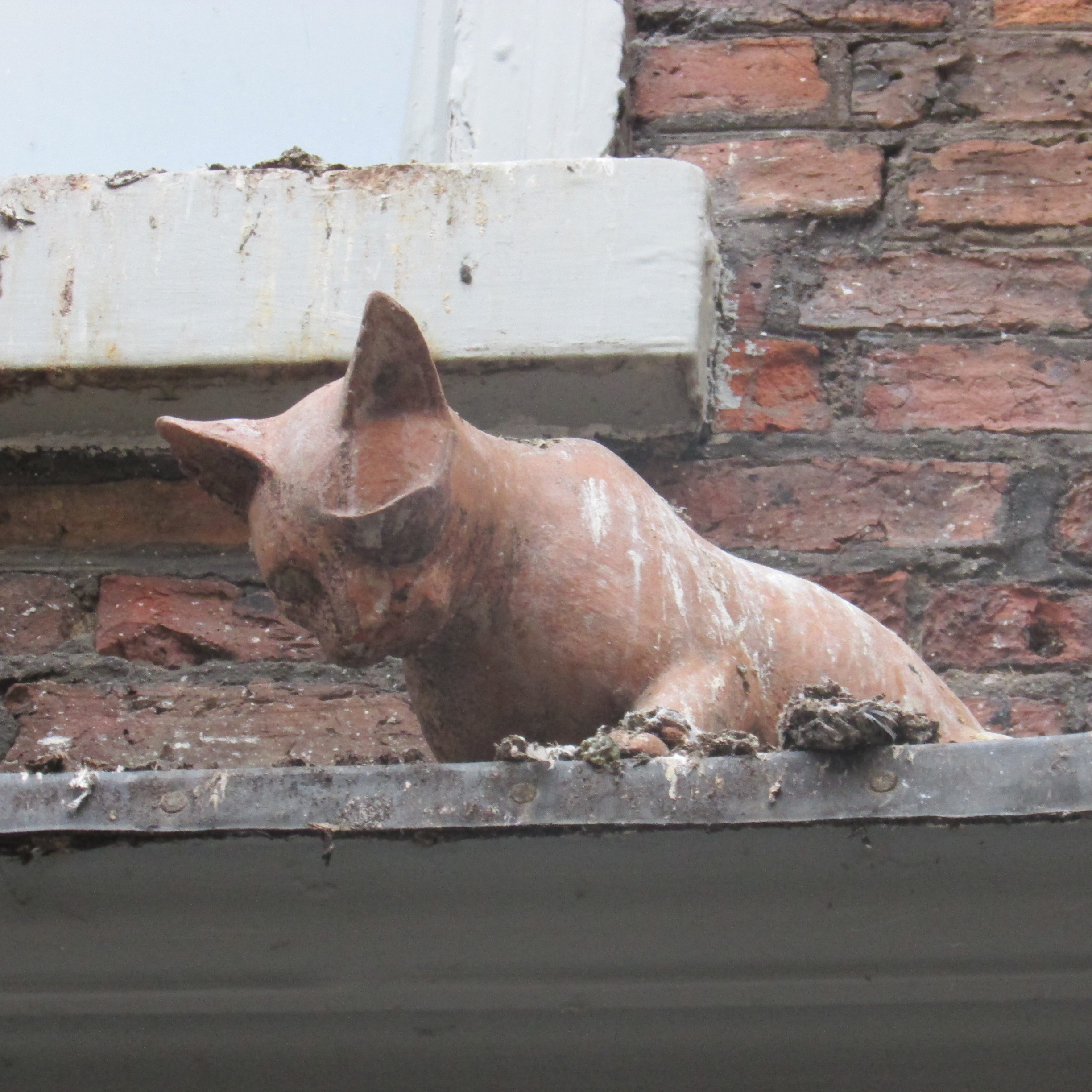
The Cat Walk of York
York is a beautiful city to explore but where do you start? There are so many interesting things to see
and exciting activities to do but it can be an expensive business, especially when children are
involved. When visiting York for the first time, it can also be difficult to
know where to go and what the city actually entails. The Cat Walk of York is an alternative way of discovering or rediscovering the city whilst enjoying the fresh air
and getting plenty of exercise. Even better, it won’t cost you a penny!!

The Scarborough Fair Collection and Vintage Transport Museum
www.scarboroughfaircollection.com
info@scarboroughfaircollection.com
01723 586698


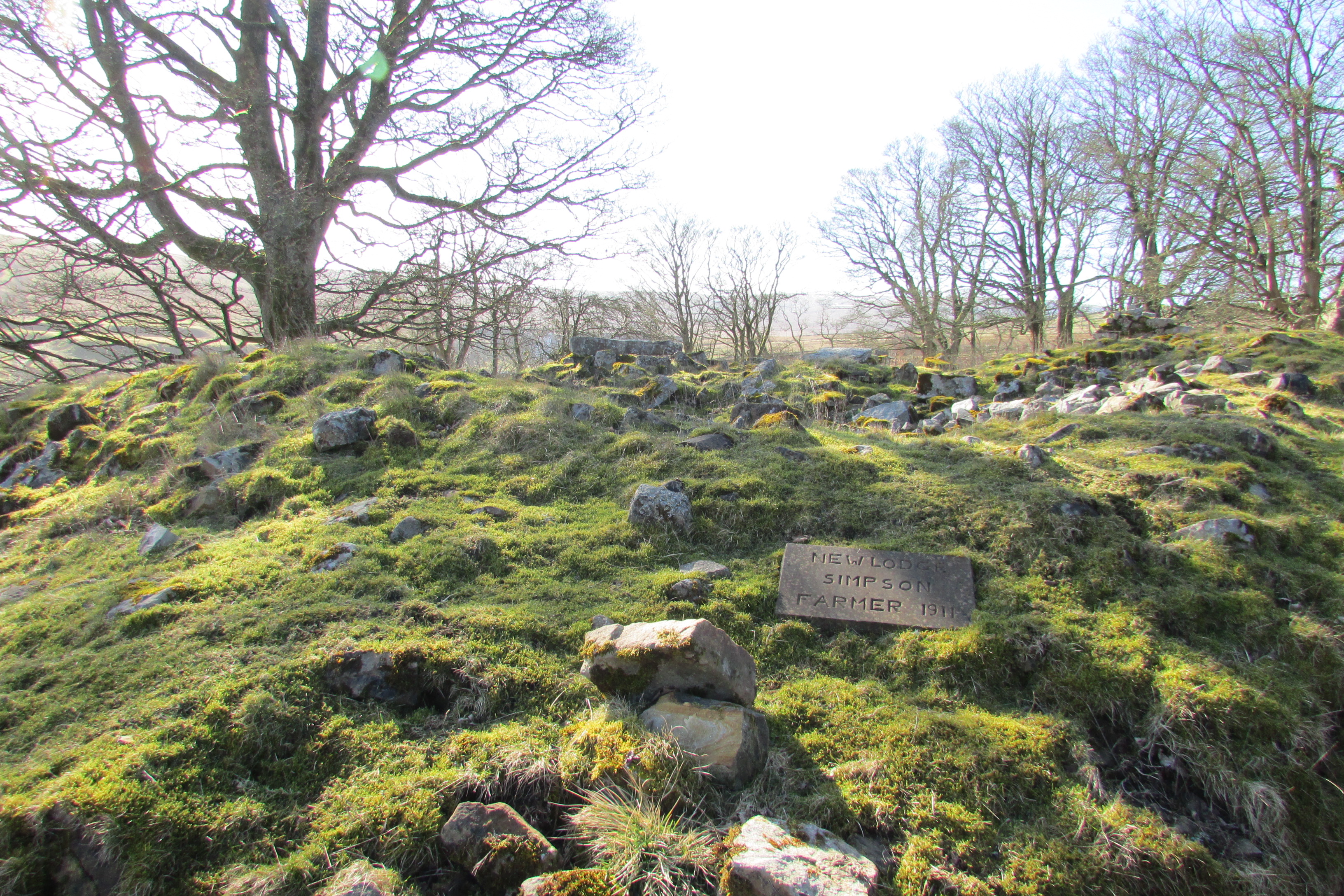
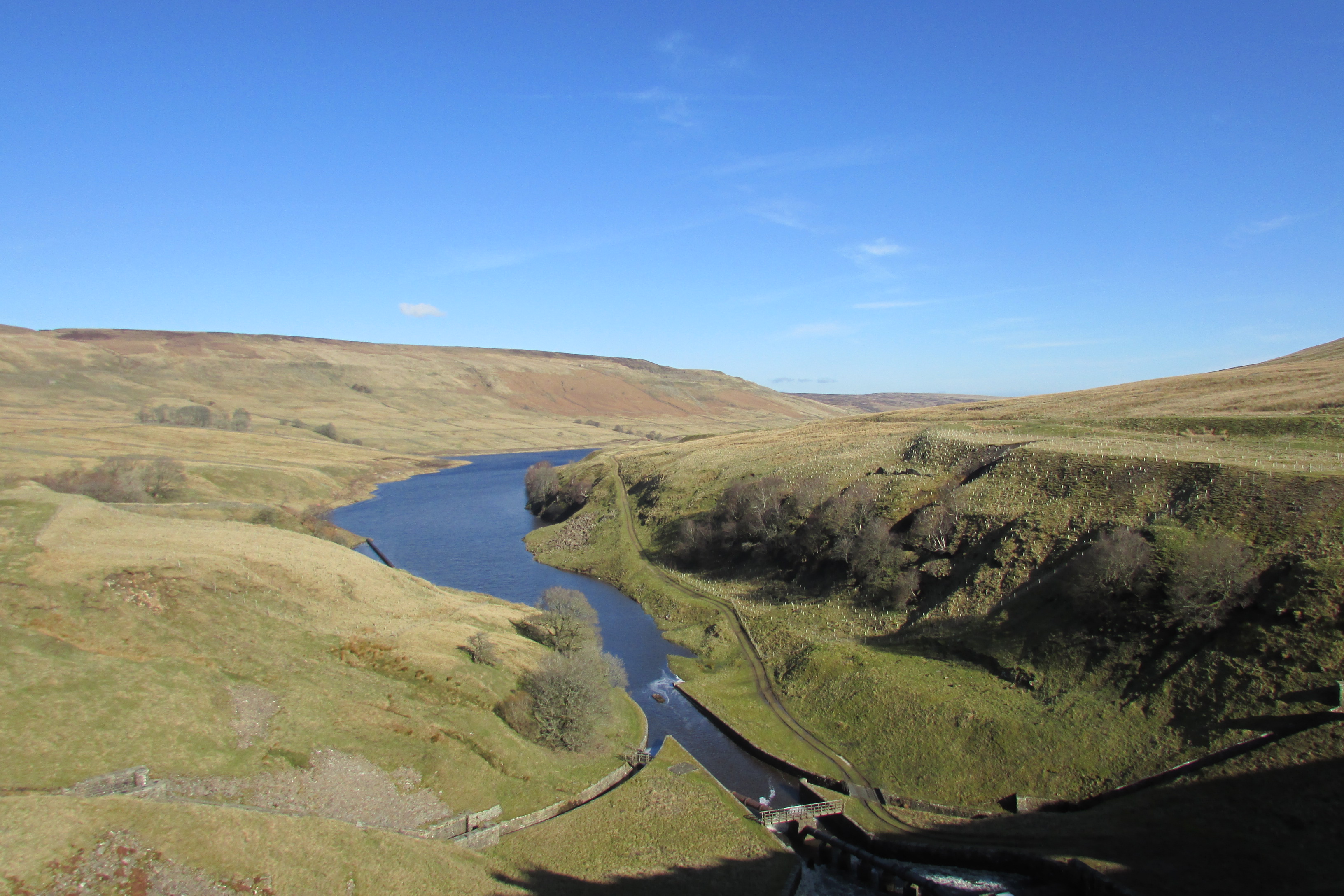
Scar house Reservoir and the lost
village of Lodge
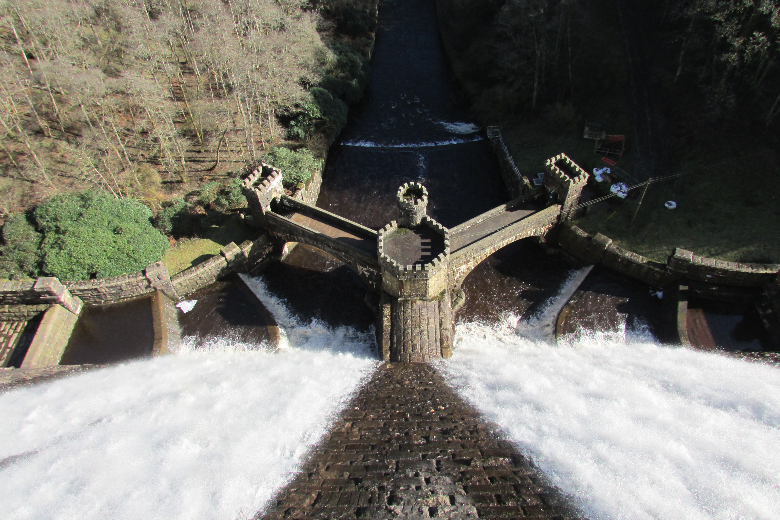
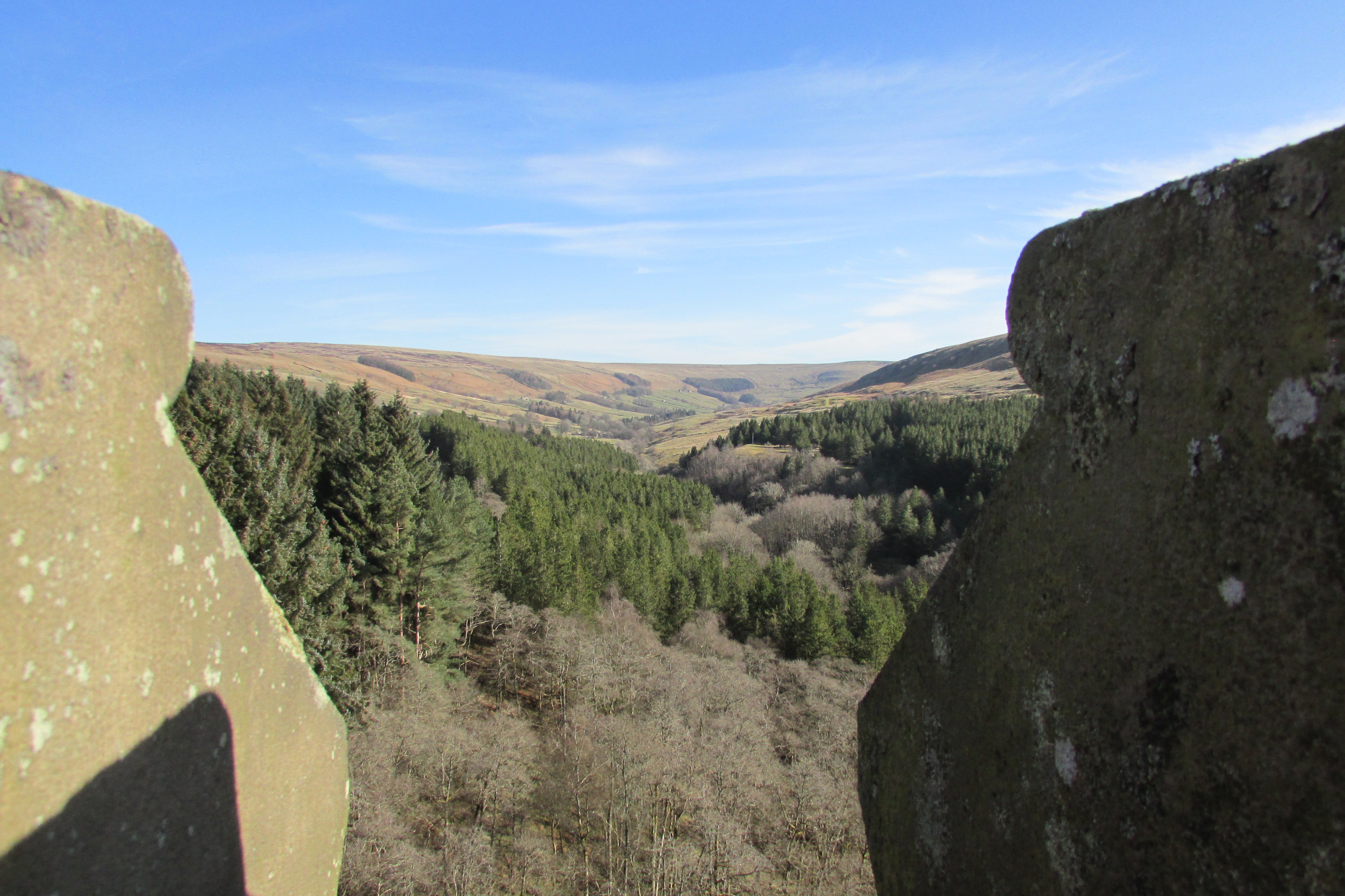
This month I am highlighting a lovely
walk around a reservoir and area of outstanding natural beauty, situated below
Little Whernside.
T
T
·
The Harry Potter Studio Tour
Studio Tour Drive
Leavesden
WD25 7LR
www.wbstudiotour.co.uk

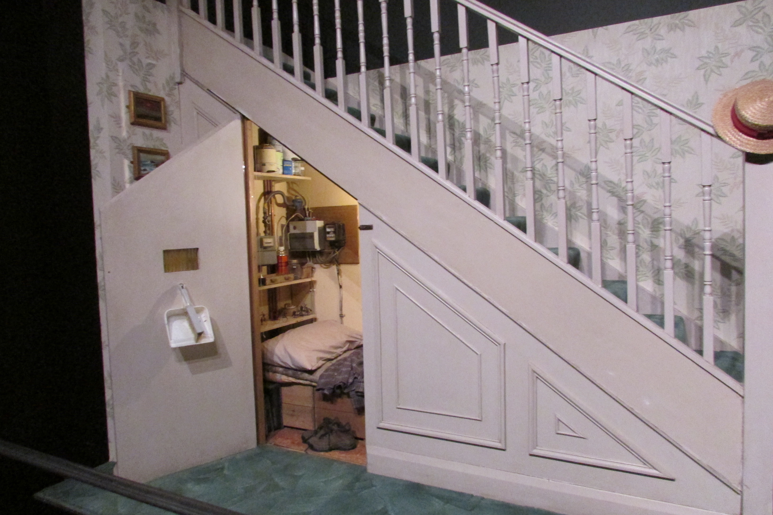

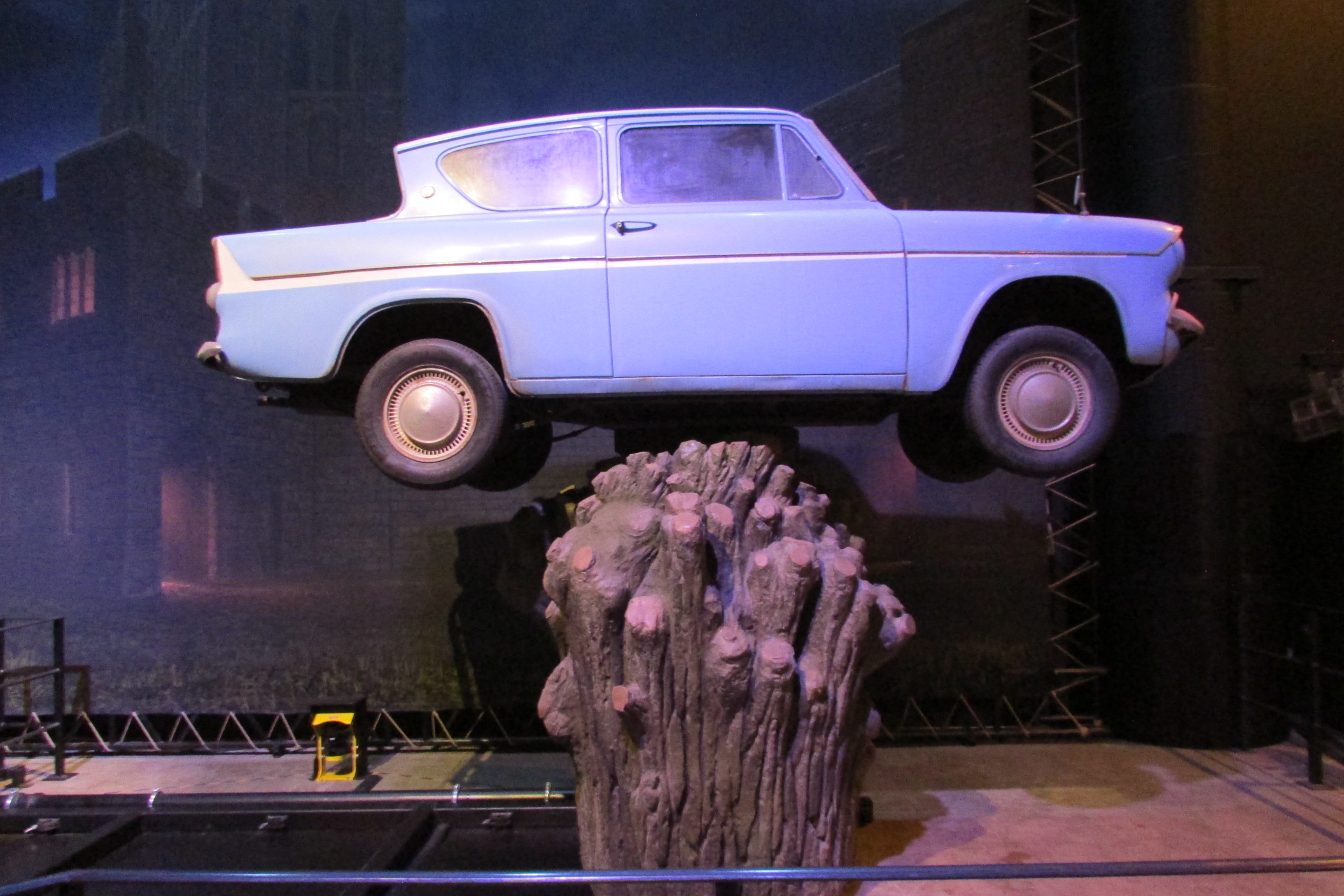
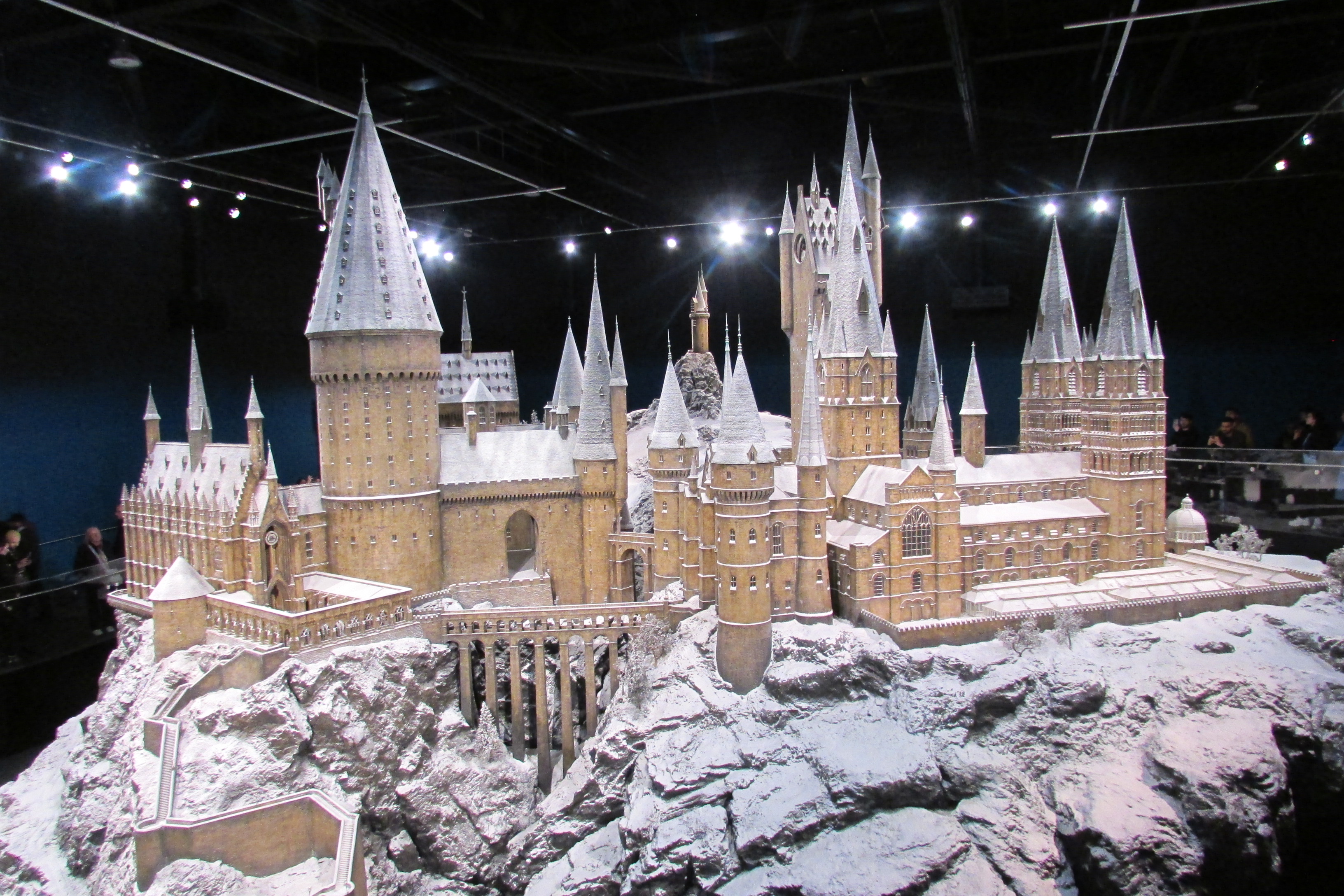
This place is amazing!
I’ve been twice now at different times of year and with a few years in
between. I absolutely adored my first visit and could easily have spent several
days there in my efforts not to miss anything. I didn’t think I would return
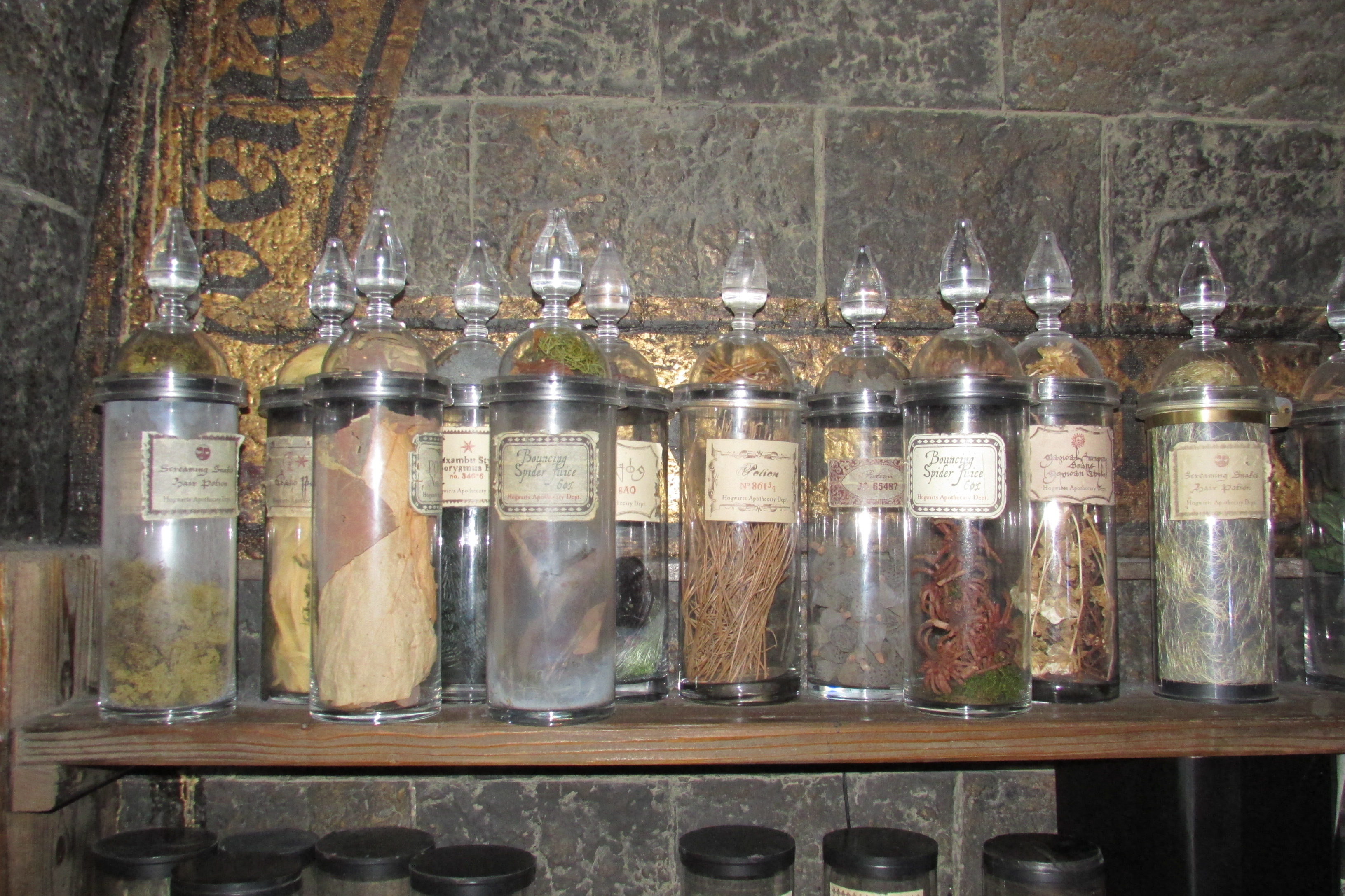
but then I discovered that from mid-December to mid-January, they dress the
sets for Christmas and scatter snow everywhere, so a return visit became a
must. Be warned though, tickets are limited so if you want to see Hogwarts in
the Snow, keep an eye on the website and book early. It has taken me two years
to get a ticket!


The National Emergency Services Museum
West Bar
Sheffield
S3 8PT
www.visitnesm.org.uk
Telephone 0114 2491999
E-Mail: info@visitnesm.org.uk
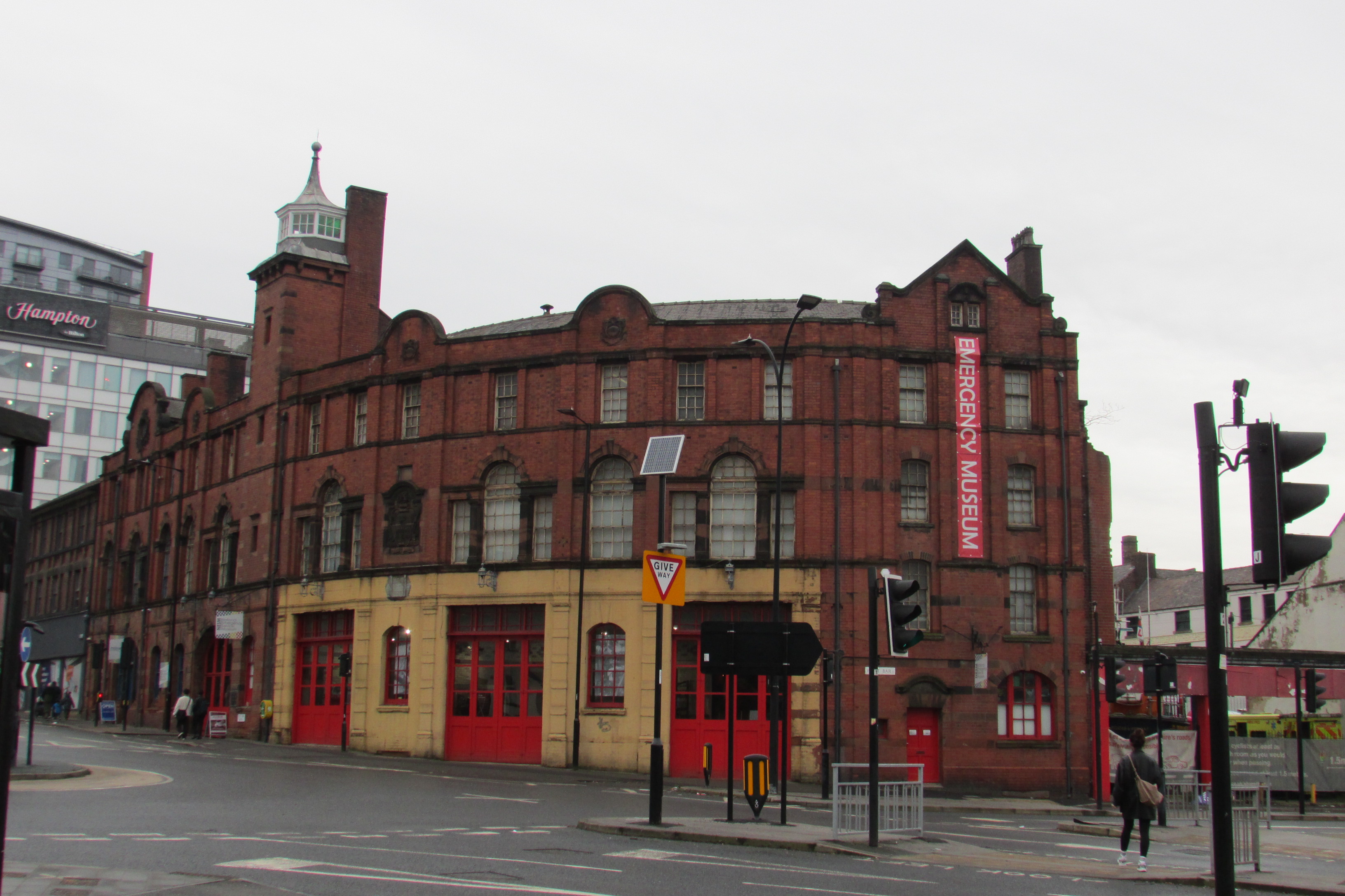
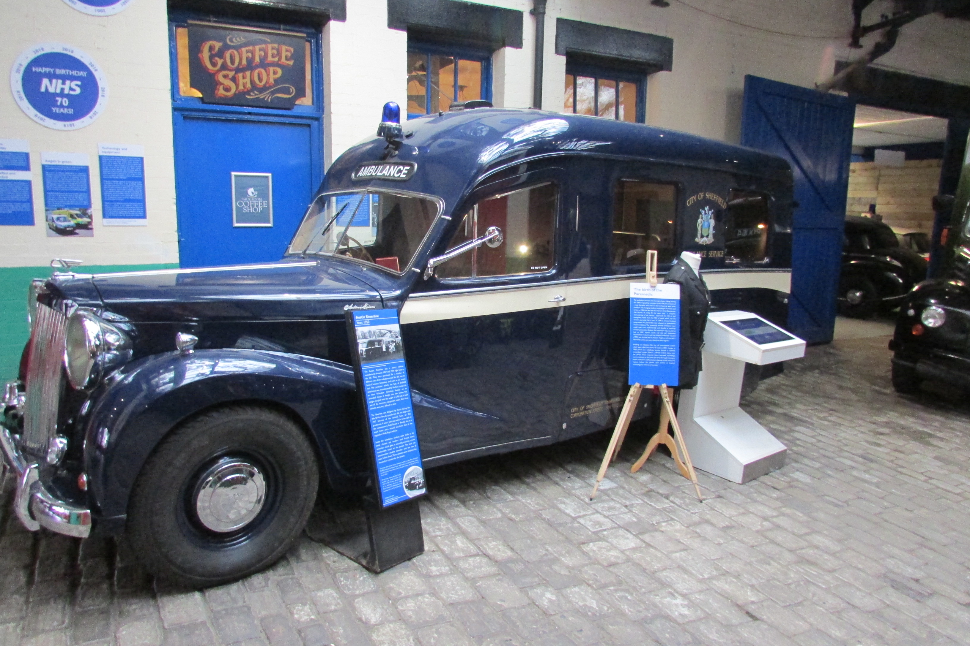
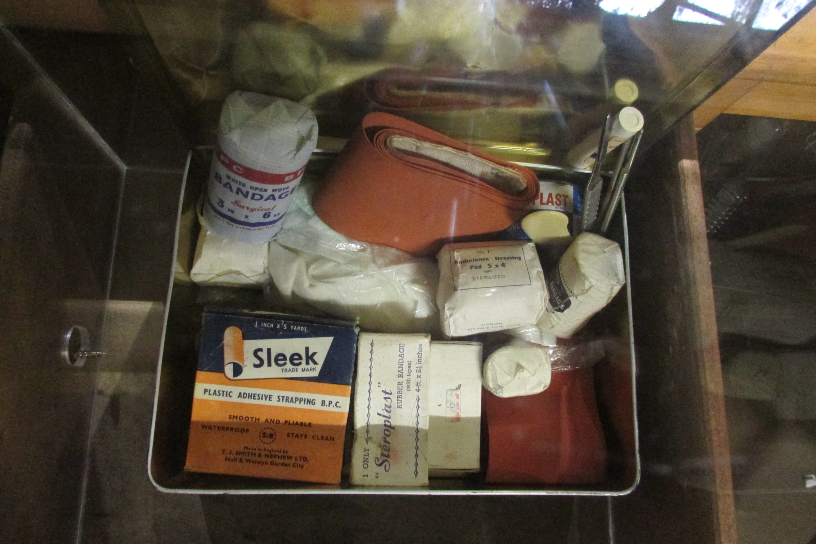
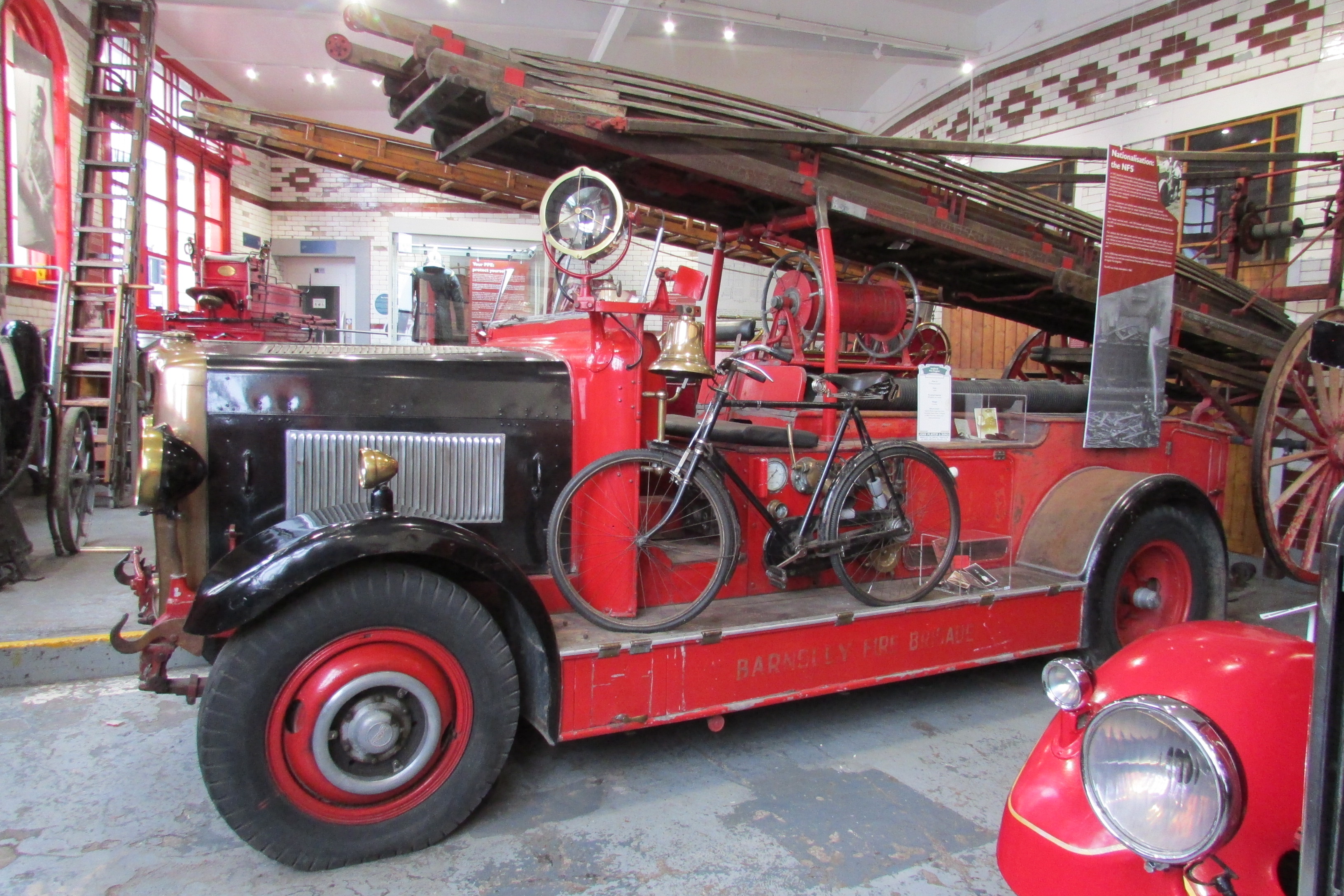
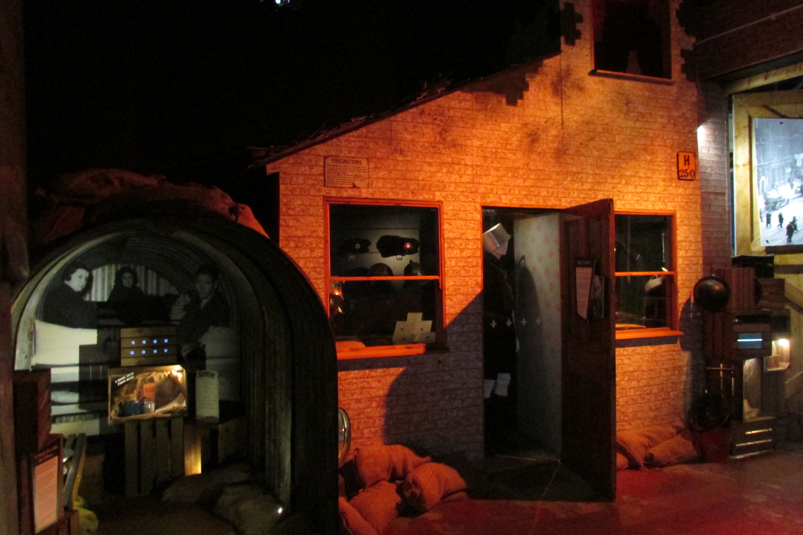
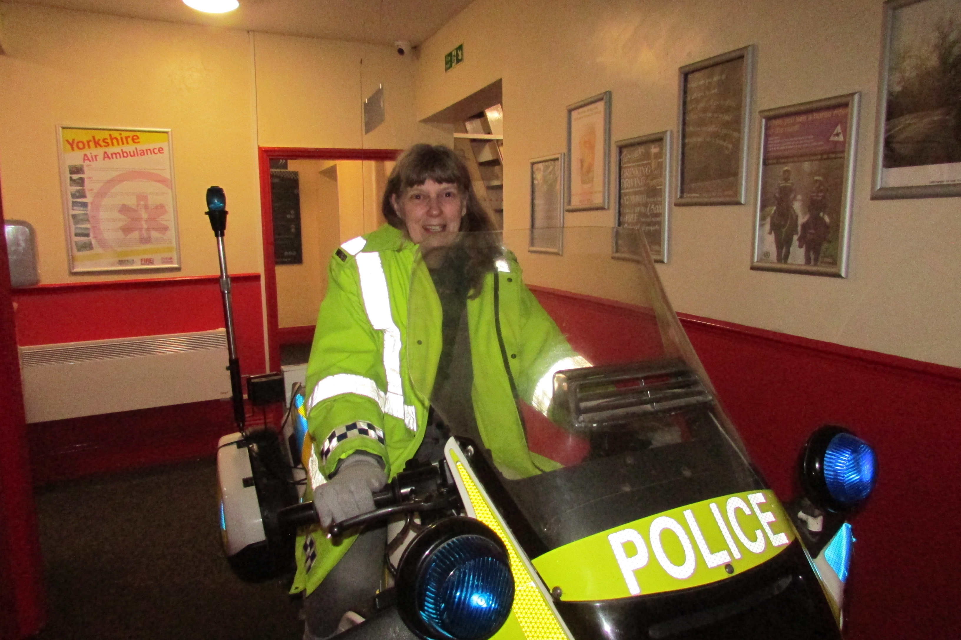
I found this museum quite by chance when researching unusual
museums in my local area. Although it was a little further than expected and I
wasn’t quite sure what to expect, it turned out to be the perfect place to go
on a rainy Sunday afternoon and had far more to offer than I originally
anticipated.

Bletchley Park
Home of the World War Two code breakers.
Sherwood Drive
Milton Keynes
MK3 6EB
www.bletchleypark.org.uk
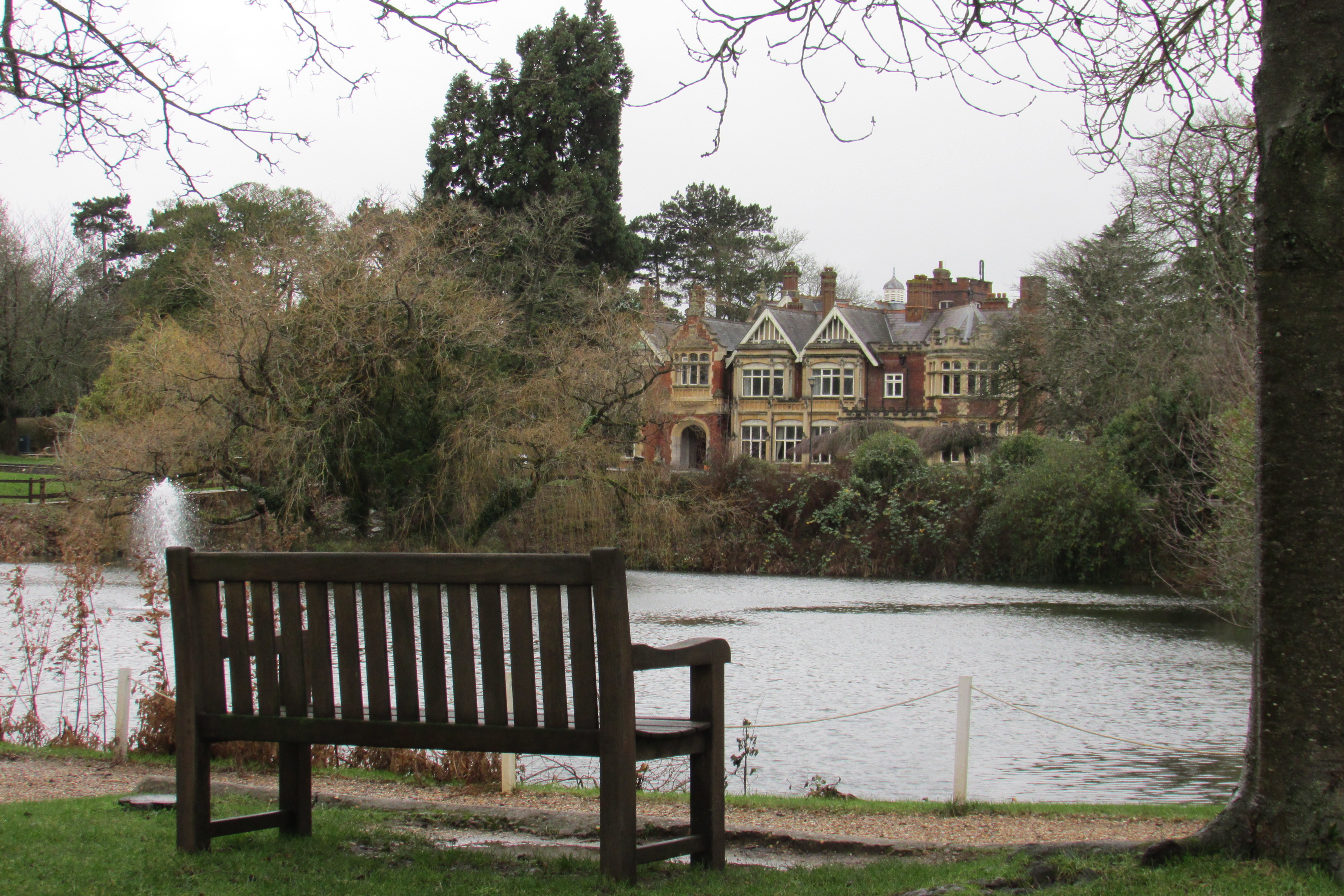
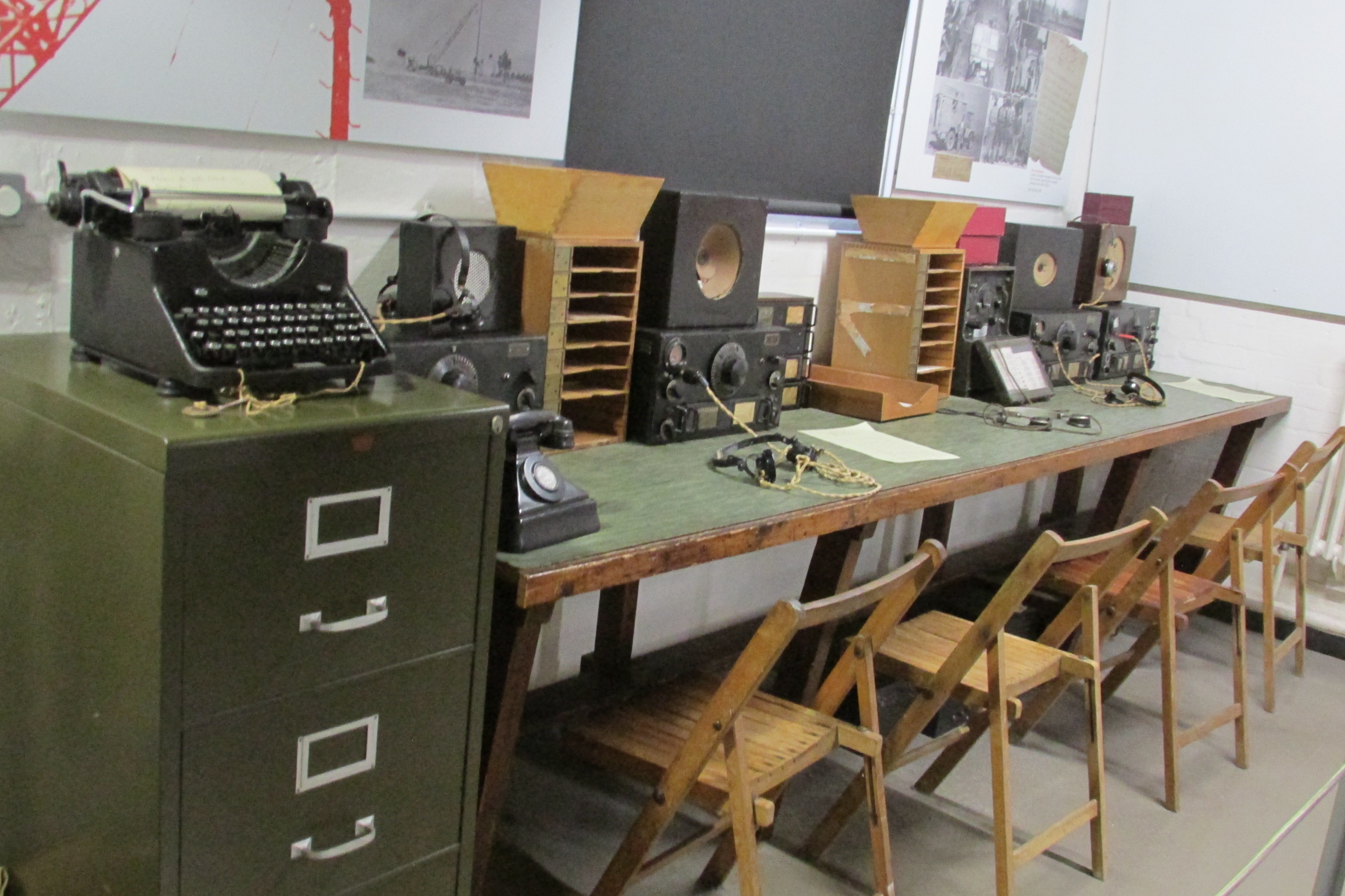
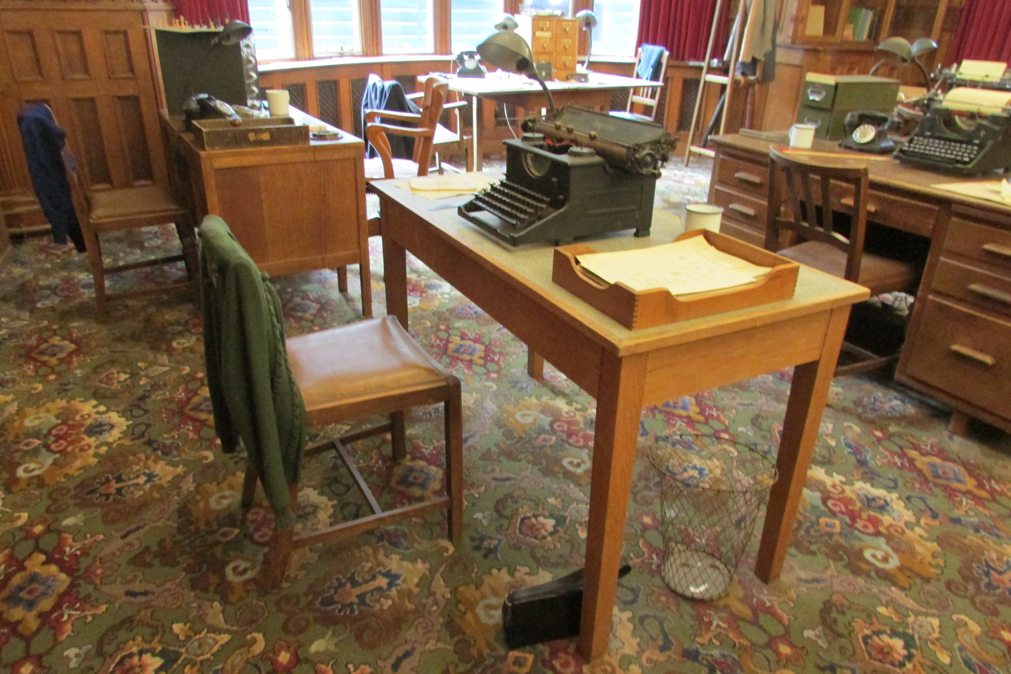
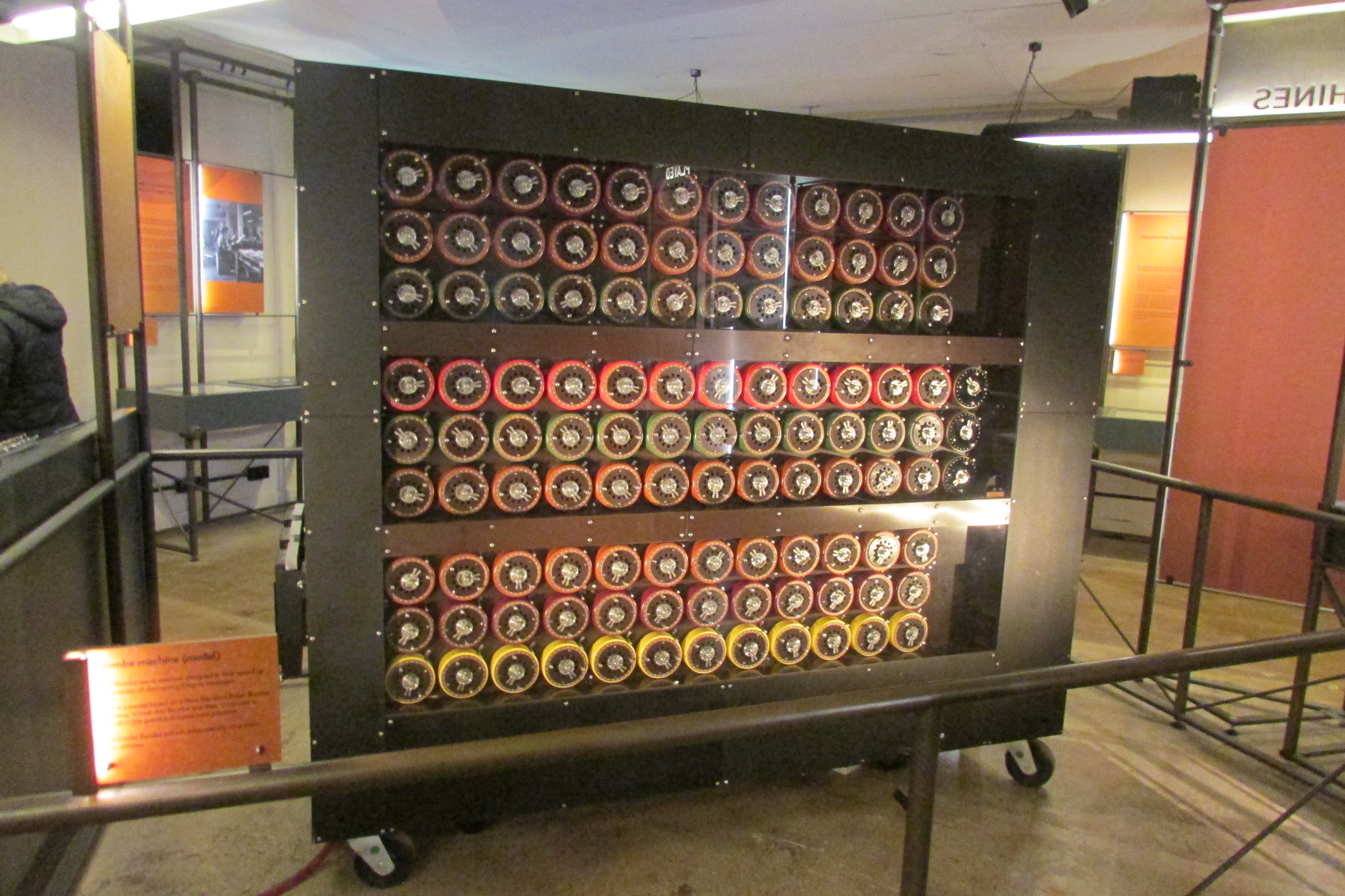
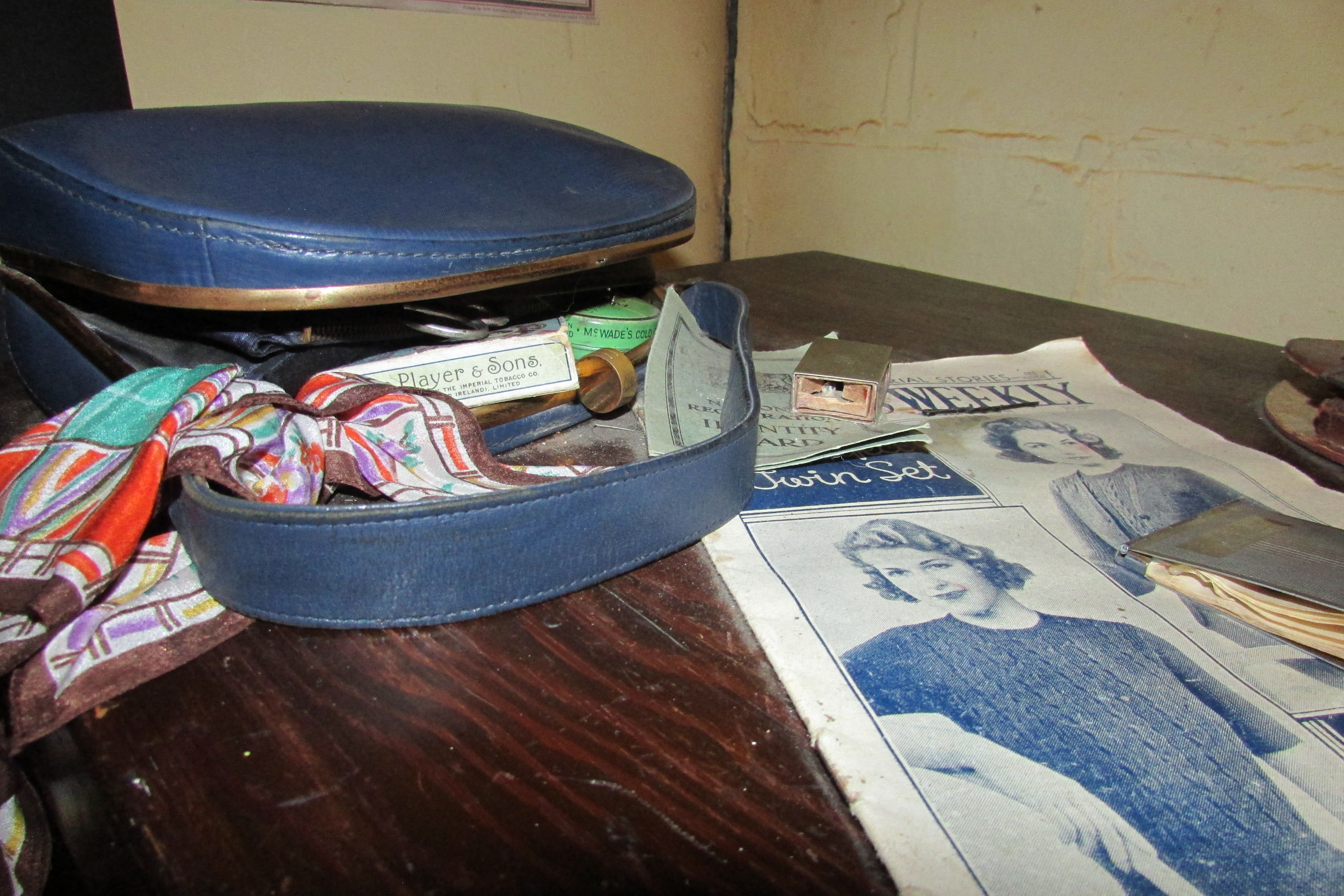
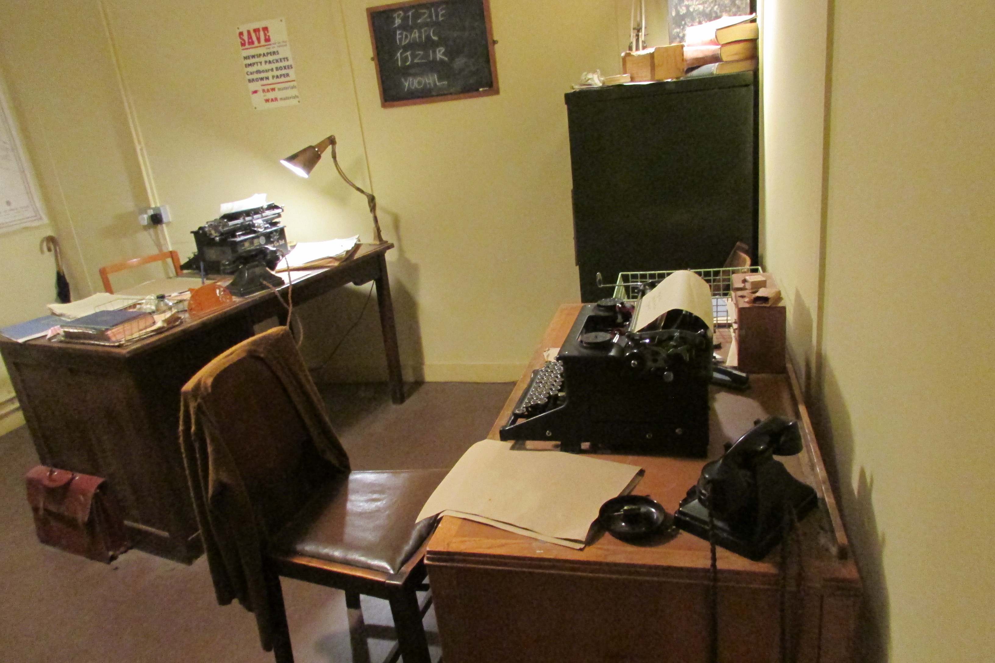
Bletchley Park is a unique place with a unique history. Once
a 581-acre private estate in a quiet rural location owned by the Leon family it
was to become the centre for The Government Code and Cypher School and play a
vital part in the successful ending of World War Two. Very few people knew at
the time what was going on there, such was the level of secrecy involved and this
was to remain until relatively recently.
